The Cotswold Way
 |
 |
|
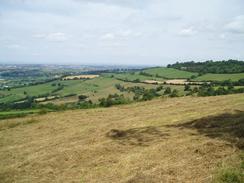
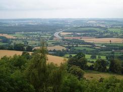
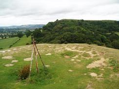
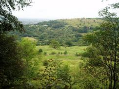
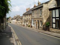
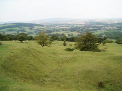
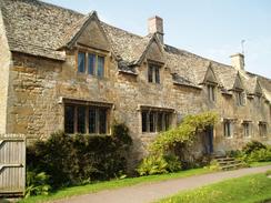
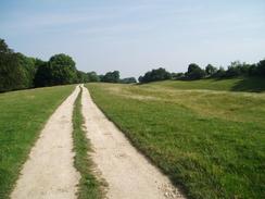
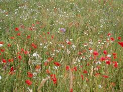
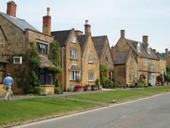
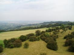
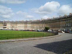
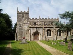
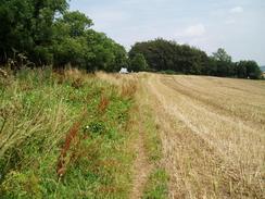
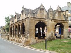
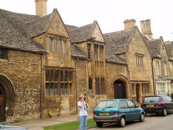
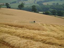
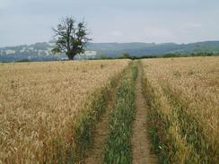
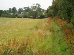
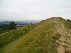
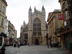
BackgroundThe Cotswold Way is a 100-mile walk, which heads northwards along the Cotswold escarpment. It is not an easy walk, but the exhertion is well rewarded with some superb views. The path is not yet an official National Trail, although I put it in this section as it is soon to become one, and work to do this was obvious as I walked along it. On the way from Bath to Chipping Campden it passes many historic sites, including burial mounds, neolithic hill forts and even a Civil War battlefield. It passes through many picturesque villages and towns, many replete with superb buildings made out of the golden Cotswold stone. It is not a walk that is ideally camped; most of the land is not very remote and campsite on the Way are few and far between, and although it is possible to wild camp I would not really reccomend it; leave wild camping for more remote areas and use B&B's as a base from which to explore the beautiful villages in the evening. |
The map. |
 |
 |
|
The walk statistics:
| Planned | Completed | To do | Percentage completed | |
|---|---|---|---|---|
| Distance | 102.8 miles | 102.8 miles | 0 miles | 100 % |
| Legs | 6 | 6 | 0 | 100 % |
| Total duration of walk | 1 days, 23 hours and 28 minutes |
| Stopped time | 7 hours and 0 minutes |
| Shortest completed leg | Stanton to Chipping Campden at 10.4 miles |
| Longest completed leg | Tormarton to Dursley at 19.9 miles |
| Average distance per leg | 17.13 miles |
The walk in full:
| No. | From | To | Distance | Status | |
|---|---|---|---|---|---|
 |
1 | Bath Abbey | Tormarton | 17.8 | Completed |
 |
2 | Tormarton | Dursley | 19.9 | Completed |
 |
3 | Dursley | Painswick | 16.7 | Completed |
 |
4 | Painswick | Dowdeswell Reservoir | 18.2 | Completed |
 |
5 | Dowdeswell Reservoir | Stanton | 19.8 | Completed |
 |
6 | Stanton | Chipping Campden | 10.4 | Completed |
Further information
If you want more details of the path, then have a look at the following book. I used this book throught my walk, and it proved to be invaluable.

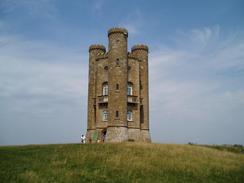
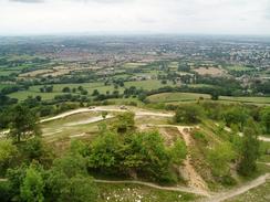
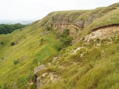
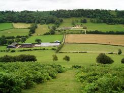
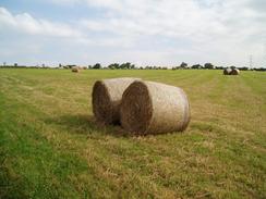
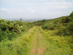
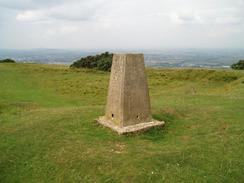
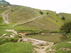
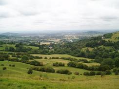
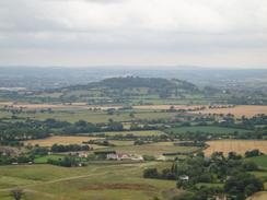
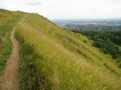
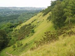
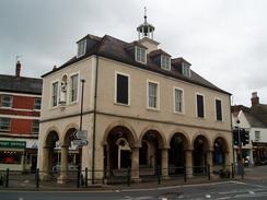
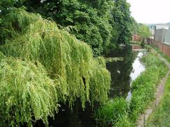
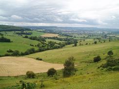
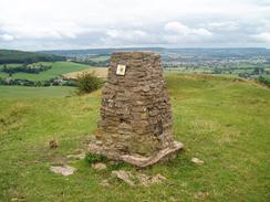
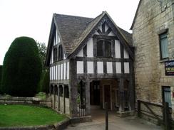
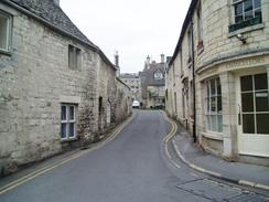
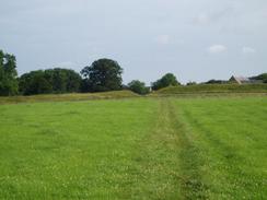
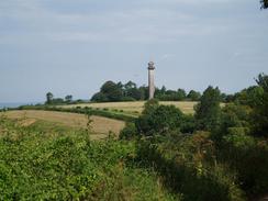
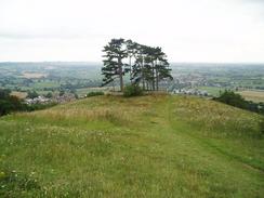
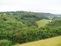
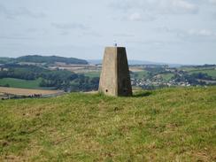
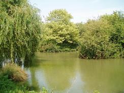
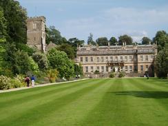
More Cotswold Way photos
 |
 |
|
 |
 |
|
| |
 |
|
 |
 |
|
 |
 |
|
 |
 |
|
 |
 |
|
 |
 |
|
| |
 |
|
 |
 |
|
| |
 |
|
 |
 |
|
 |
 |
|
| |
 |
|
 |
 |
|
 |
 |
|
 |
 |
|
 |
 |
|
| |
 |
|
 |
|
|
 |
 |
|
