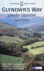
Glyndwr's Way
 |
|
 |
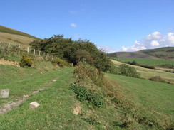
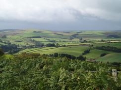
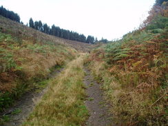
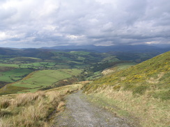
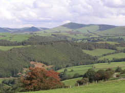
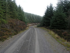
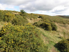
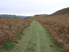
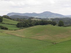
| P20069254829 Heading east towards the woodland.
|
|
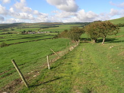
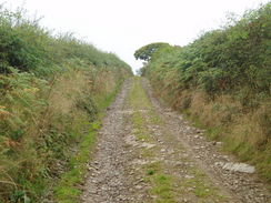
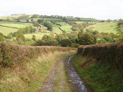
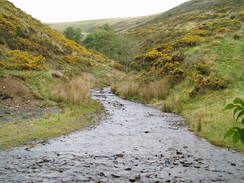
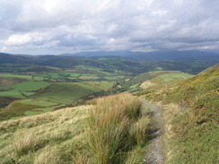
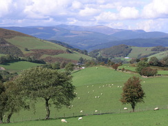
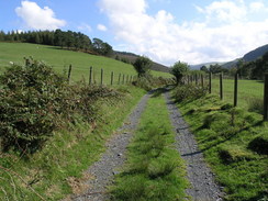
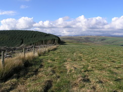
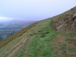
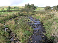
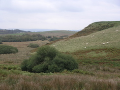
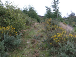
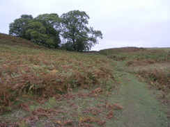
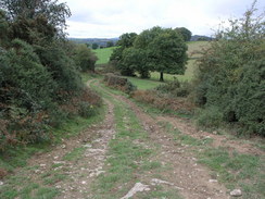
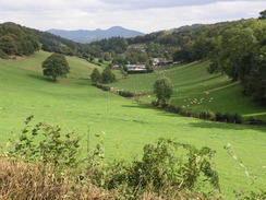
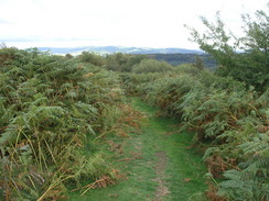
P20069254738 The path near Pen-rhos-bach.
|
Background
Glyndwr's Way is a relatively new (officially opened in 2002) national trail, running through mid-Wales, from Knighton on the English border to Machynlleth on the Dovey estuary, and then on to Welshpool on the English border.
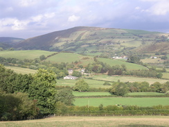
It is a spectacular walk with much climbing to be done on it's route, and with many superb views at many points of the walk, particularly Llyn Clywedog Reservoir and the area around Foel Fadian and Glaslyn.
The official distance of the walk is 135 miles; I made it out to be 144 miles using my GPS, although some of this extra distance was due to official diversions and getting lost; the lesser distance given in the guidebook is probably more accurate than my figure.
 |
|
 |
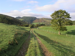
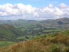
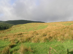
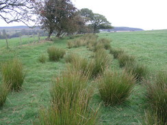
| P20069264934 The climb northeastwards out of Dolwen.
|
|
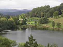
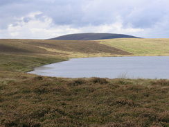
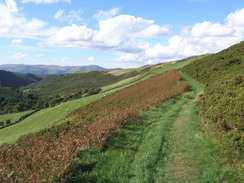
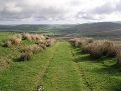
P20069285265 Looking down over Llyn Du.
|
The walk statistics:
| | Planned | Completed | To do | Percentage completed |
|---|
| Distance | 143.5 miles | 143.5 miles | 0 miles | 100 % |
| Legs | 9 | 9 | 0 | 100 % |
| Total duration of walk | 2 days, 15 hours and 8 minutes
| | Stopped time | 4 hours and 21 minutes
| | Shortest completed leg | Knighton station to Beacon Hill at 10.8 miles
| | Longest completed leg | Beacon Hill to Abbeycwmhir at 22.2 miles
| | Average distance per leg | 15.94 miles
|
The walk in full:
 |
|
 |
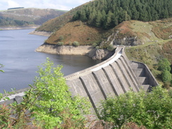
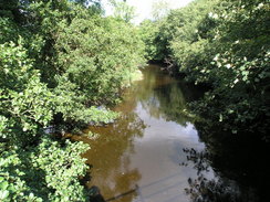
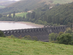
| P20069234462 Clywedog Dam.
|
|
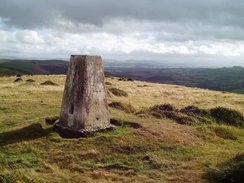
P2005A016879 Ysgwd Ffordd trig pillar.
|
Further information
|
The walk is also covered in detail in the Glyndwr's Way National Trail Guide, by David Perrott, ISBN 1 85410 968 5, published by Aurum Press Ltd. Please click on the link to the right to access the Amazon page for the guidebok.
There are also the following good websites about the Glyndwr's Way:
- The Ramblers' Association Website for Glyndwr's Way.
- The National Trails Glyndwr's Way site - full of useful information.
- Talbontdrain's accomodation list for the trail - slightly out of date (several have now closed), but invaluable infromation when walking the route.
- Another accommodation list - this time on the Offa's Dyke Association website.
|
|
More Glyndwr's Way photos
 |
|
 |
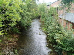
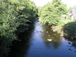
| P20059306768 The river in Knighton.
|
|
P20059306793 Heading uphill along the track from Ebrandy House.
|
 |
|
 |
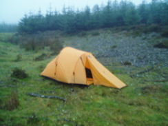
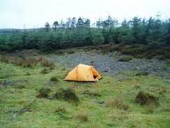
| P20059306817 My tent in the woodland.
|
|
P20059306802 The descent down into Llangunllo.
|
 |
|
 |
| P20059306798 The path heading towards Cefnsuran Farm.
|
|
P2005A016820 My tent in the woodland.
|
 |
|
 |
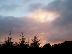
| P2005A016822 The sun rising over my tent.
|
|
P2005A016831 Heading along the track towards Stanky Hill.
|
 |
|
 |
| P2005A016840 Felindre post office.
|
|
P2005A016856 Heading southwestwards towards Llanbadarn Fynydd.
|
 |
|
 |
| P2005A016864 The track leading west from Llanbadarn Fynydd.
|
|
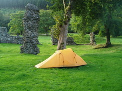
P2005A026912 My tent beside the abbey ruins in Abbey-cwm-hir.
|
 |
|
 |
| P2005A026933 A stream to the south of Nanteos.
|
|
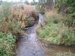
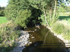
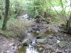
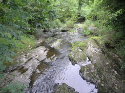
P2005A026942 The brook near Grach.
|
 |
|
 |
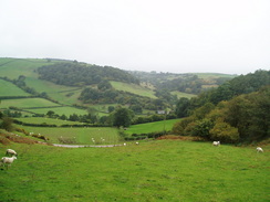
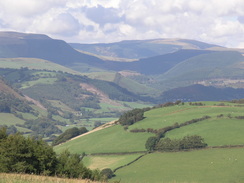
| P2005A026956 Looking over the Severn Valley from Pen-y-bant.
|
|
P2005A026957 Looking over the Severn Valley from Pen-y-bant.
|
 |
|
 |
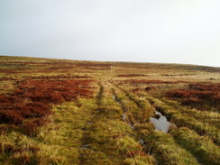
| P2005A026917 The path leading through the forest northwstwards from Abbey-cwm-hir.
|
|
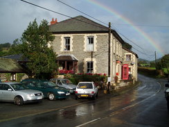
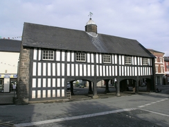
P20069234427 The Market Hall in Llanidloes.
|
 |
|
 |
| P20069234434 The view from near St Idloes golf course.
|
|
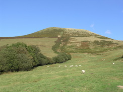
P20069234446 Llyn y Fan viewed from the B4518.
|
 |
|
 |
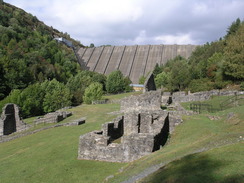
| P20069234453 The ruins of Bryntail Mine, with the Clywedog Dam behind.
|
|
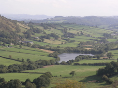
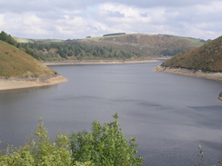
P20069234468 A view along Llyn Clywedog.
|
 |
|
 |
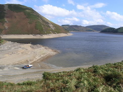
| P20069234484 Llyn Clywedog.
|
|
P20069234505 A stream near Dolydd.
|
 |
|
 |
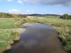
| P20069244554 The Afon Clywedog at Felin-Newydd.
|
|
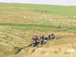
P20069244573 Scramble bikes approaching a boggy patch.
|
 |
|
 |
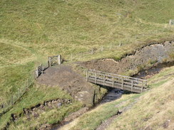
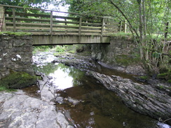
| P20069244586 The footbridge over the infant Afon Clywedog.
|
|
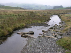
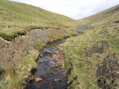
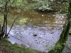
P20069244587 The infant Afon Clywedog.
|
 |
|
 |
| P20069244606 Looking from Glaslyn towards the summit of Foel Fadian.
|
|
P20069244608 Glaslyn.
|
 |
|
 |
| P20069244625 Heading west down the path from below Foel Fadian.
|
|
P20069244629 Heading west down the path from below Foel Fadian.
|
 |
|
 |
| P20069244639 The descent down toward Nantyfyda.
|
|
P20069244663 The view from above Cleiriau-isaf.
|
 |
|
 |
| P20069244675 The view from near the bottom of The Chute.
|
|
P20069244678 The view from the climb up The Chute.
|
 |
|
 |
| P20069244684 Heading southwestwards along the side of the valley.
|
|
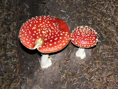
P20069244695 Toadstools in the woodland.
|
 |
|
 |
| P20069254752 The view from the path along the flank of Bryn Wg.
|
|
P20069254758 A gully on the hill to the west of Abercegir.
|
 |
|
 |
| P20069254774 The view north from the climb up out of Abercegir.
|
|
P20069254791 Looking down over Cemmaes Road.
|
 |
|
 |
| P20069254799 The track leading southeast along the river.
|
|
P20069254810 Looking north from near Commins Gwalia.
|
 |
|
 |
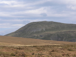
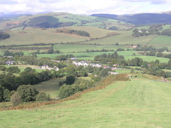
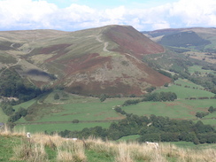
| P20069254819 Moel Eiddew.
|
|
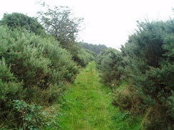
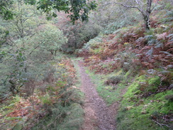
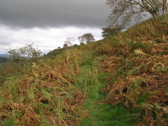
P20069254835 The path through the woodland.
|
 |
|
 |
| P20069254842 Descending southeastwards down the hill.
|
|
P20069254849 Looking east during the descent.
|
 |
|
 |
| P20069254862 The Afon Rhiwsaeson near Llanbrynmair.
|
|
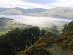
P20069264888 Looking south to fog hanging over the valley.
|
 |
|
 |
| P20069264897 Heading north along Esgair Fraith.
|
|
P20069264908 The track heading northeastwards through the forest.
|
 |
|
 |
| P20069264915 Heading southeast from the forest.
|
|
P20069264921 The track heading east down the hill.
|
 |
|
 |
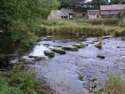
| P20069264928 The Afon Cannon at Neinthiron.
|
|
P20069264943 The path along the flank of Pen Coed.
|
 |
|
 |
| P20069264964 The Afon Banwy in Llangadfan.
|
|
P20069275041 The drover's route leading to Penyffordd.
|
 |
|
 |
| P20069275051 Heading north through the woodland.
|
|
P20069275060 The stream in the bottom of a valley near Dyfnant.
|
 |
|
 |
| P20069275081 Looking down over Lake Vyrnwy dam.
|
|
P20069275103 The footpath leading towards Pont Llogel.
|
 |
|
 |
| P20069275115 The descent down towards Pont Llogel.
|
|
P20069275133 The Afon Vyrnwy.
|
 |
|
 |
| P20069275138 A footbridge over a tributary to the river.
|
|
P20069275171 The path past Allt Dolanog.
|
 |
|
 |
| P20069275175 The path past Allt Dolanog.
|
|
P20069285199 Stepping stones over the Afon Efyrnwy in Dolanog.
|
 |
|
 |
| P20069285205 The path heading east along the southern bank of the Afon Efyrnwy.
|
|
P20069285210 Looking down over the Afon Efyrnwy.
|
 |
|
 |
| P20069285223 The Afon Efyrnwy in Pontrobert.
|
|
P20069285237 The path along the northern flank of Gallt yr Ancr.
|
 |
|
 |
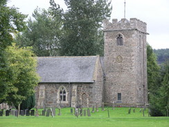
| P20069285247 Meifod church.
|
|
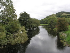
P20069285254 The Afon Vyrnwy from Broniarth Bridge.
|
 |
|
 |
| P20069285270 Following the path southeastwards from near Ty-newydd.
|
|
P20069285286 Heading towards the caravan park at Pant.
|
 |
|
 |
| P20069285297 The view from near Trefnant.
|
|
P20069285324 The path leading up Y Golfa.
|
 |
|
 |
| P20069285326 The path leading up Y Golfa.
|
|
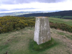
P20069285344 The trig pillar on Y Golfa.
|
 |
|
 |
| P20069285351 Heading east down from Y Golfa.
|
|
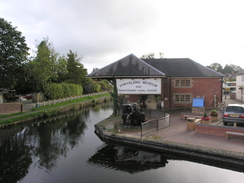
P20069285381 The Montgomeryshire canal in Welshpool.
|
|
