Walk #29: Waterbeach circular
General Data
| Date Walked | 25/07/1999 |
| County | Cambridgeshire |
| Start Location | Waterbeach |
| End Location | Waterbeach |
| Start time | 15.10 |
| End time | 17.45 |
| Distance | 6.0 miles |
| Description | This was a pleasant riverside and road walk. The middle third of the riverside section was made harder by waist-high undergrowth and nettles. |
| Pack | Today I carried full Pennine Way kit. |
| Condition | I spent the first part of the walk adjusting the straps to alleviate the problems that I had with my right shoulder yesterday. Otherwise I felt fine. |
| Weather | Today was hot, although it was slightly overcast at periods. A light breeze helped cool me down. |
| OS map | Landranger number 154 (Cambridge & Newmarket, Saffron Walden) |
Map of the walk
Maps courtesy of Google Maps. Route for indicative purposes only, and may have been plotted after the walk. Please let me have comments on what you think of this new format. For a detailed table of timings for this walk, please see the table file.
Notes
This was a fairly simple little afternoon's walk, and is a walk that can easily be done in a couple of hours. Since the weather was so nice I stoped at Bottisham Lock for about twenty-five minutes and watched people trying to operate the lock gates, an amusing pastime.
Directions
From Waterbeach walk towards Bottisham Lock. before you get there, take a left up Long Drove. Follow this road for about three miles.
At the top of Long Drove, just before an old World War 2 vintage concrete bunker, turn right down the Black Drove track.
At the end of Black Drove, turn left and follow the track onto the top of the banking. Do not cross the stile but turn right and go down onto the floodplain. Climb a ladder stile and follow the river all the way back to Bottisham Lock. After about a mile and a half you will leave the floodplain and climb onto the banking again.
At Bottisham Lock climb down from the banking and follow the road back into Waterbeach.
Distances
| From | To | Distance (m) | Ascent (ft) | Descent (ft) |
|---|---|---|---|---|
| My flat in Waterbeach | Black Drove | 3.7 | 0 | 3 |
| lack Drove | My flat in Waterbeach | 3.7 | 3 | 0 |
This makes a total distance of 7.4 miles, with 3 feet of ascent and 3 feet of descent.
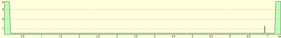
For more information on profiles, ascents and descents, see this page
Disclaimer
Please note that I take no responsibility for anything that may happen when following these directions. If you intend to follow this route, then please use the relevant maps and check the route out before you go out. As always when walking, use common sense and you should be fine.
If you find any information on any of these routes that is inaccurate, or you wish to add anything, then please email me.
All images on this site are © of the author. Any reproduction, retransmissions, or republication of all or part of any document found on this site is expressly prohibited, unless the author has explicitly granted its prior written consent to so reproduce, retransmit, or republish the material. All other rights reserved.
Although this site includes links providing convenient direct access to other Internet sites, I do not endorse, approve, certify or make warranties or representations as to the accuracy of the information on these sites.
And finally, enjoy your walking!
Nearby walks
| # | Title | Walk length (miles) |
|---|---|---|
| 2 | Waterbeach to Newmarket Road, Cambridge | 5.4 |
| 5 | A short walk around Waterbeach to Car Dyke | 3.0 |
| 6 | Waterbeach to Newmarket Road, Cambridge | 5.4 |
|
|

|