Home  1999-2001  2002-3  2004-6  2007-9  2010-17  2018  2019  2020
 Coastwalk  LE-JOG  Counties  Random Search within km of
Hiking in Britain

Courtesy of Google Maps.

The Ridgeway National Trail

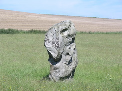
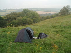
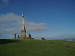
The Ridgeway is an 87-mile long National Trail that follows ancient tracks and pathways from the Marlborough Downs to the Chiltern Hills. It starts at Cold Overton Down, just a stones' throw away from the fantastic settlement at Avebury, and ends high on the top of Ivinghoe Beacon.

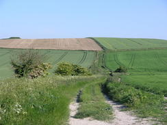
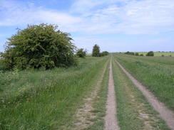
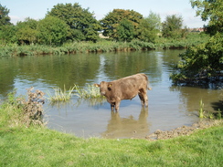
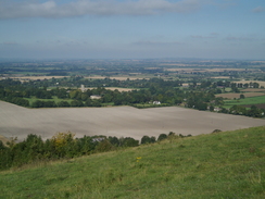
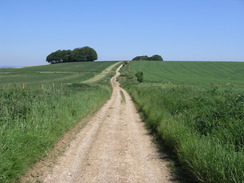
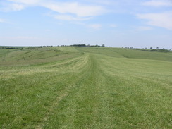
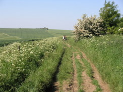
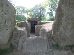
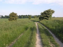
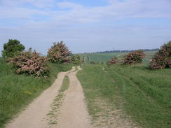
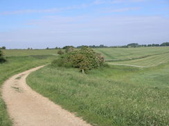
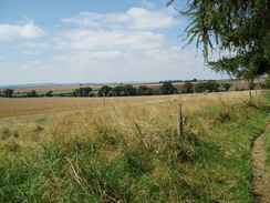
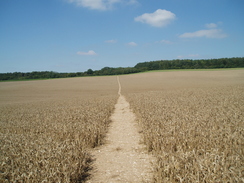
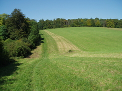
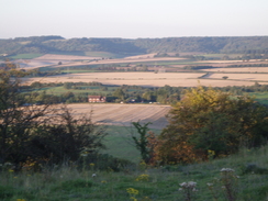
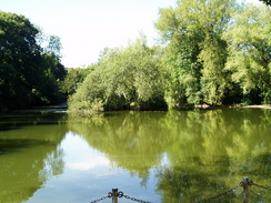
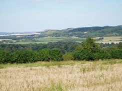
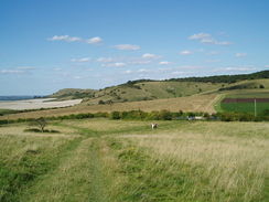
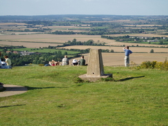
It is a walk of two very disparate halves; the western half keeps high, following the top of ridges east towards the Goring Gap. This stretch is a walk through history; there are signs of neolithic life everywhere, from barrows to hill forts. In places the views are superb. This stretch passes the hill forts at Barbuey Castle, Liddington Castle and Uffington Castle (the highest point in Oxfordshire), and as well as Avenbury, it also passes several long barrows, such as Wayland Smithy.

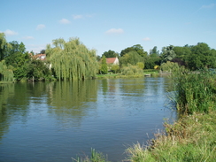
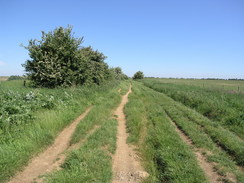
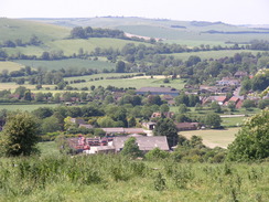
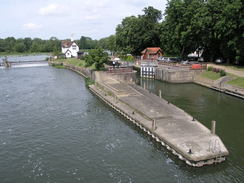
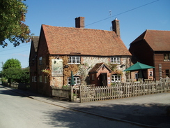
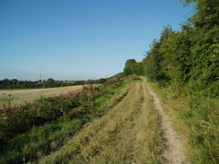
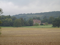
The eastern half initially follows the Thames northwards, then heads off northeastwards across the Chiltern Hills. The path rises and falls much more in this strech as it heads across fields and through woodland. Whereas the western half of the walk stays away from settlement, this half passes through several towns; Goring, Princes Risborough, Wendover and finally Tring.

Much of the Ridgeway is a bridleway, and (particularly east of Goring), the bridleway and footpath diverge frequently. This means that there can be two seperate Ridgeway routes between any two locations, a situation that is confused by the western extension to the Icknield Way, which is often coincedent with the Ridgeway.

The Ridgeway is part of a longer set of tracks called the Greater Ridgeway that are based on neolithic routes. This heads off from the Dorset coast on the Wessex Ridgeway, then the Ridgeway; the Icknield Way from Ivinghoe Beacon to Thetford; and finallt the Peddar's Way National Trail from Thetford to the Norfolk Coast.


P20066103347	The track heading northeastwards from Fox Hill.
     
P20078250014	Following the Thames to North Stoke.
P20066103347 The track heading northeastwards from Fox Hill.
     
P20078250014 Following the Thames to North Stoke.


The walk in full:

No.From To Distance Status
1 Overton Hill Wayland Smithy 21.5 Completed
2 Wayland Smithy Goring station 23 Completed
3 Goring station Ledge Hill 24 Completed
4 Ledge Hill Ivinghoe Beacon 21.8 Completed


Directions and further information

The walk is also covered in detail in the Ridgeway National Trail Guide, by Anthony Burton, ISBN 1-84513-063-4 published by Aurum Press Ltd. Click on the image to the right to go to the Amazon page for the book.

cover

More Ridgeway photos


P20066103241	The track on Overton Down.
     
P20066103249	Heading northeastwards along the track towards Barbury Castle.
P20066103241 The track on Overton Down.
     
P20066103249 Heading northeastwards along the track towards Barbury Castle.


P20066103278	The path down Smeathe's Ridge.
     
P20066103299	Looking down over Ogbourne St George.
P20066103278 The path down Smeathe's Ridge.
     
P20066103299 Looking down over Ogbourne St George.


P20066103313	Heading north from Round Hill Downs.
     
P20066103368	The entrance to Wayland's Smithy.
P20066103313 Heading north from Round Hill Downs.
     
P20066103368 The entrance to Wayland's Smithy.


P20066113376	My tent at Wayland's Smithy.
     
P20066113405	A caterpillar on the track.
P20066113376 My tent at Wayland's Smithy.
     
P20066113405 A caterpillar on the track.


P20066113421	Heading southeast from Sparsholt Firs.
     
P20066113430	The track on Gramp's Hill.
P20066113421 Heading southeast from Sparsholt Firs.
     
P20066113430 The track on Gramp's Hill.


P20066113442	Heading east towards the Wantage Monument.
     
P20066113504	The Thames lock at Goring.
P20066113442 Heading east towards the Wantage Monument.
     
P20066113504 The Thames lock at Goring.


P20066113464	The track heading down to the underpass under the A34(T).
     
P20078250005	The Thames to the north of Goring.
P20066113464 The track heading down to the underpass under the A34(T).
     
P20078250005 The Thames to the north of Goring.


P20078250007	South Stoke.
     
P20078250021	The rail bridge over the Thames.
P20078250007 South Stoke.
     
P20078250021 The rail bridge over the Thames.


P20078250024	A cow in the Thames.
     
P20078250048	Following Grim's Ditch eastwards.
P20078250024 A cow in the Thames.
     
P20078250048 Following Grim's Ditch eastwards.


P20078250067	Heading north to Ewelme Park.
     
P20078250077	Heading north towards North Farm.
P20078250067 Heading north to Ewelme Park.
     
P20078250077 Heading north towards North Farm.


P20078250092	Heading northeast towards Chinnor.
     
P20078250107	The view from Ledge Hill.
P20078250092 Heading northeast towards Chinnor.
     
P20078250107 The view from Ledge Hill.


P20078250110	My tent on Ledge Hill.
     
P20078260118	My tent on Ledge Hill.
P20078250110 My tent on Ledge Hill.
     
P20078260118 My tent on Ledge Hill.


P20078260126	Crossing the first railway line.
     
P20078260148	Looking across fields towards Chequers.
P20078260126 Crossing the first railway line.
     
P20078260148 Looking across fields towards Chequers.


P20078260164	The view from Coombe Hill.
     
P20078260174	Looking back towards the Coombe Hill monument.
P20078260164 The view from Coombe Hill.
     
P20078260174 Looking back towards the Coombe Hill monument.


P20078260188	A pond in Wendover.
     
P20078260206	The view from the trig pillar in Wiggington.
P20078260188 A pond in Wendover.
     
P20078260206 The view from the trig pillar in Wiggington.


P20078260229	The view from Pitstone Hill towards Ivinghoe Beacon.
     
P20078260237	Ivinghoe Beacon.
P20078260229 The view from Pitstone Hill towards Ivinghoe Beacon.
     
P20078260237 Ivinghoe Beacon.

Back to walks index Back to walks index  Back to National Trails index Back to National Trails index 


Please visit my ramblings blog at: https://walkerramblings.blogspot.com/


Hosted by Spellings.net