Walks in Central Scotland
Central Scotalnd is a mountainous county in Scotland situated between Fife and Tayside in the east, and Strathclyed in the west. It contains three main areas; Clackmannanshire, Falkirk and Stirling, and also several Munros.
As is natural for such a hilly area there are many walks that can be done although no National Trails pass through the area. I walked through it on two occasions; my sectional Land's End to John O'Graots walks, and on my coastwalk where I touched the eastern edge of the county.
Below is a map showing all the walks that I have completed in Central Scotland.
Completed walks in Central Scotland
List of walks in Central Scotland
| Walk No. | Description | Distance (miles) |
|---|---|---|
| 1013 | Linlithgow to Croy | 22.3 |
| 1011 | A meandering circular walk between the Falkirk Wheel and the Kelpies | 12.5 |
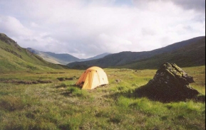
| 908 | West Highland Way: Tyndrum to Kingshouse Hotel | 19.4 |
| 907 | West Highland Way: Inversnaid to Tyndrum | 19.1 |
| 906 | West Highland Way: East Drumquhassle to Inversnaid | 23.9 |
| 905 | West Highland Way: Milgavie to East Drumquhassle | 11.1 |
| 566 | Boness to Muirhouse | 18.9 |
| 565 | Culross to Boness | 16.8 |
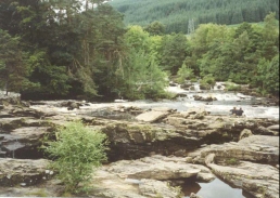
| 149 | Killin to Gleann Meran | 18.1 |
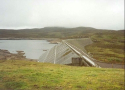
| 148 | Head of Loch Lednock to Killin | 11.3 |
| 117 | Dollar to Auchterarder | 12.0 |
| 116 | Dunfermline to Dollar | 12.9 |
This was a total of 198.3 miles in 12 walks (an average of 16.52 miles per walk).
|
|
