Home  1999-2001  2002-3  2004-6  2007-9  2010-17  2018  2019  2020
 Coastwalk  LE-JOG  Counties  Random Search within km of
Hiking in Britain

The Grand Union Canal Walk
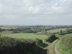
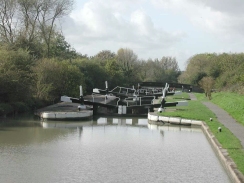
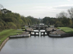
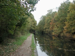
Background

The Grand Union Canal runs for 147 miles from Paddington right into the heart of Birmingham. As it links the two biggest cities in Britain it was a major transport link before the coming of the railways, although nowadays it is almost exclusively used by pleasure craft.

I walked the Grand Union Canal in sections between 1999 and 2001, extending it slightly by adding the Regents Canal from Mile End in East London to the southern end. The walk passes through some pretty countrysde, and even when going through cities or towns it keeps a rural, attractive air. The walking is easy with no significant climbs and a generally good towpath underfoot, which makes it an ideal training walk for long-distance walkers.

The map.


PB110142	A man tying up a working boat in Gas Street Basin.
     
AI20	The canal at Bulbourne.
PB110142 A man tying up a working boat in Gas Street Basin.
     
AI20 The canal at Bulbourne.


The walk in full:

No.From To Distance Status
1 Mile End Paddington 8.3 Completed
2 Paddington Alperton 6.4 Completed
3 Alperton Cowley Peachey Junction 12.5 Completed
4 Cowley Peachey Junction Kings Langley Station 16.2 Completed
5 Kings Langley Station Hemel Hempstead Station 4.2 Completed
6 Hemel Hempstead Station Tring Station 8 Completed
7 Tring Station Cheddington Station 6.1 Completed
8 Cheddington Station Bletchley Station 13.3 Completed
9 Bletchley Station Wolverton Station 11.9 Completed
10 Wolverton Station Bugbrooke 16.6 Completed
11 Bugbrooke Braunston Junction 13.5 Completed
12 Braunston Junction Leamington Spa 16.1 Completed
13 Leamington Spa Solihull Station 20.9 Completed
14 Solihull Station Birmingham (New Street) 12.1 Completed


PA270061	Looking back at Braunston along the canal.
     
P9290013	The sign at Gayton Junction - Northsmpton 4.75 miles, Brentford 77 miles and Brauston 16.5 miles.
PA270061 Looking back at Braunston along the canal.
     
P9290013 The sign at Gayton Junction - Northsmpton 4.75 miles, Brentford 77 miles and Brauston 16.5 miles.


Further information

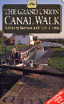
The walk is also covered in detail in the Grand Union Canal Walk, by Anthony Burton and Neil Curtis, ISBN 1 85410 244 3, published by Aurum Press Ltd. Click on the image to the right to go the Amazon page for this book.


For more details on the Grand Union Canal see Jim Shead's canal pages.

cover

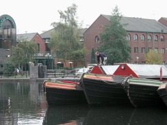
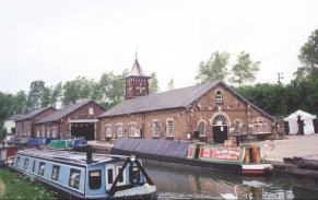
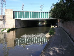
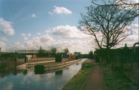
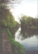
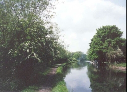
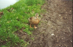
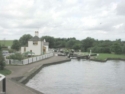
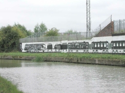
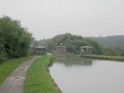
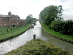
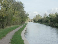
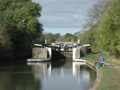
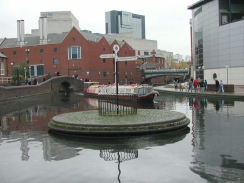
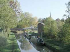
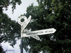
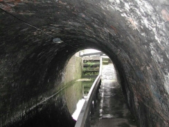
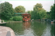
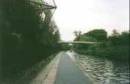
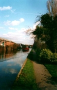
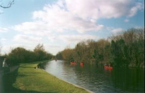
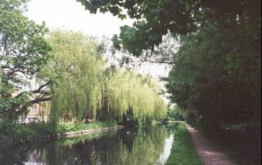
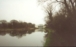
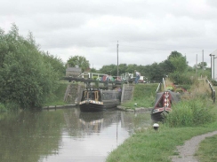
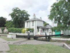
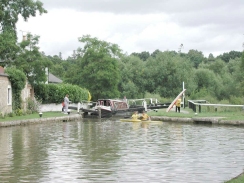
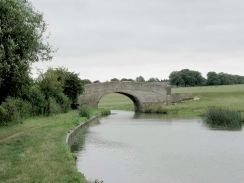
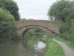
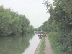
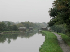
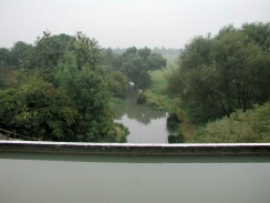
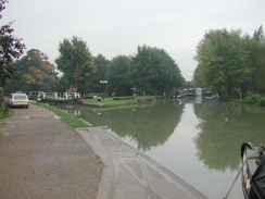
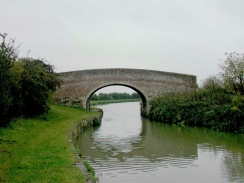
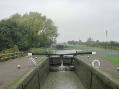
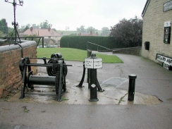
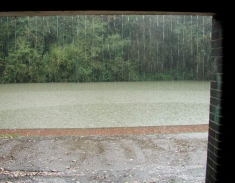
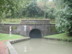
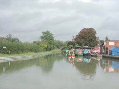
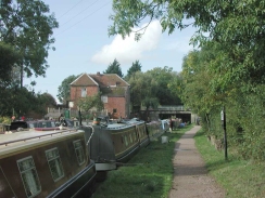
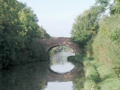
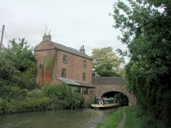
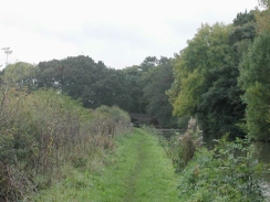
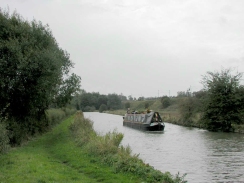
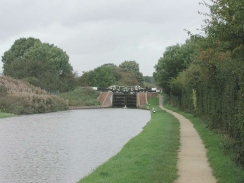
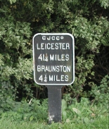
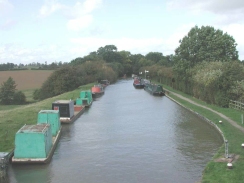
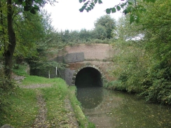
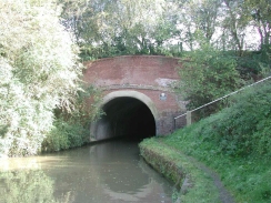
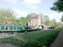
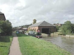
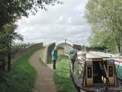
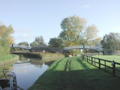
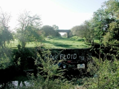
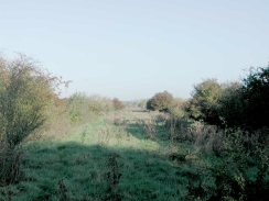
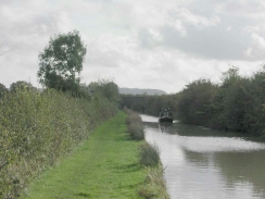
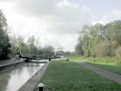
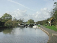
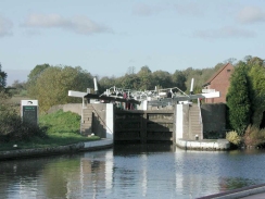
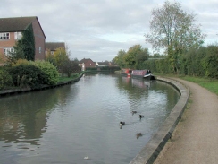
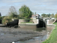
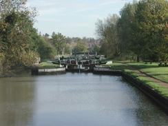
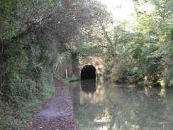
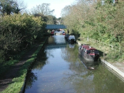
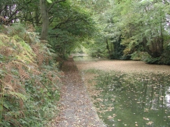
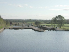
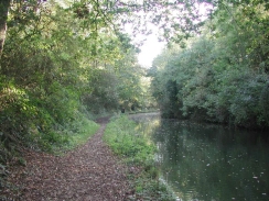
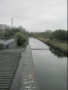
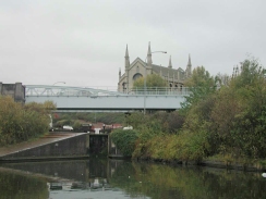
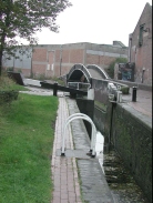
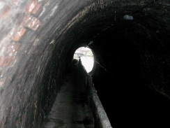
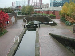
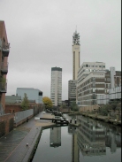
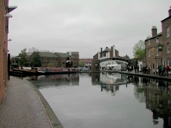
More Grand Union Canal photos


PA060017	Looking west along the lane leading back down to the canal at Braunston.
     
PA270069	A view down the Stockton flight of locks.
PA060017 Looking west along the lane leading back down to the canal at Braunston.
     
PA270069 A view down the Stockton flight of locks.


PB040089	Looking down the Hatton flight of locks from Lock 42.
     
PB110131	Ashted canal tunnel.
PB040089 Looking down the Hatton flight of locks from Lock 42.
     
PB110131 Ashted canal tunnel.


D25	A pagoda restaurant on the Regent's Canal between London Zoo and Camden.
     
D23	Little Venice on the Regent's Canal.
D25 A pagoda restaurant on the Regent's Canal between London Zoo and Camden.
     
D23 Little Venice on the Regent's Canal.


D24	The Regent's Canal below the Aviary at London Zoo.
     
G22	The Grand Union Canal east of Alperton.
D24 The Regent's Canal below the Aviary at London Zoo.
     
G22 The Grand Union Canal east of Alperton.


G25	Boats on the canal near Kensal Green.
     
AE09	A lovely view along the canal.
G25 Boats on the canal near Kensal Green.
     
AE09 A lovely view along the canal.


AI16	Looking along the Grand Union Canal.
     
AI17	Looking along the Grand Union Canal.
AI16 Looking along the Grand Union Canal.
     
AI17 Looking along the Grand Union Canal.


AI18	A view of the Grand Union Canal.
     
Z24	A bridge on the canal.
AI18 A view of the Grand Union Canal.
     
Z24 A bridge on the canal.


P7220005	The view from Soulbury Top Lock
     
P7220002	Slapton Lock
P7220005 The view from Soulbury Top Lock
     
P7220002 Slapton Lock


P7220004	Leighton Lock (11.49:35)
     
P7220003	Leighton Lock
P7220004 Leighton Lock (11.49:35)
     
P7220003 Leighton Lock


P8110003	Stantonbury Bridge (No. 75).
     
P8110001	The attractive double bridge (No. 97).
P8110003 Stantonbury Bridge (No. 75).
     
P8110001 The attractive double bridge (No. 97).


P8110002	The canal near Newport Pagnell.
     
P8110004	The mural on the wall near Wolverton.
P8110002 The canal near Newport Pagnell.
     
P8110004 The mural on the wall near Wolverton.


P9290001	Looking north at the Wolverton Aqueduct.
     
P9290002	The view of the Great Ouse from Wolverton Aqueduct.
P9290001 Looking north at the Wolverton Aqueduct.
     
P9290002 The view of the Great Ouse from Wolverton Aqueduct.


P9290003	Looking south at Wolverton Aqueduct.
     
P9290004	The canal junction at Cosgrove Lock.
P9290003 Looking south at Wolverton Aqueduct.
     
P9290004 The canal junction at Cosgrove Lock.


P9290006	A bridge between Grafton Regis and Stoke Bruerne.
     
P9290007	Stoke Bruerne lower lock, looking up the flight of locks.
P9290006 A bridge between Grafton Regis and Stoke Bruerne.
     
P9290007 Stoke Bruerne lower lock, looking up the flight of locks.


P9290008	Old canal ironwork outside the waterways museum at Stoke Bruerne.
     
P9290009	The rain dropping off the corrugated iron roof of the shelter near the southern portal of the tunnel.
P9290008 Old canal ironwork outside the waterways museum at Stoke Bruerne.
     
P9290009 The rain dropping off the corrugated iron roof of the shelter near the southern portal of the tunnel.


P9290011	The northern portal of Blisworth tunnel.
     
P9290012	Looking up the Northamton branch of the canal at Gayton Junction.
P9290011 The northern portal of Blisworth tunnel.
     
P9290012 Looking up the Northamton branch of the canal at Gayton Junction.


P9290014	Boats on the canal immediately to the south of Bugbrooke bridge.
     
PA060008	A bridge just north of Bugbrooke
P9290014 Boats on the canal immediately to the south of Bugbrooke bridge.
     
PA060008 A bridge just north of Bugbrooke


PA060009	Weedon Station Bridge
     
PA060010	Looking south along the towpath north of the A5
PA060009 Weedon Station Bridge
     
PA060010 Looking south along the towpath north of the A5


PA060011	A boat on the canal between Muscot Mill and Whilton Bottom Lock.
     
PA060012	Buckby Bottom Lock
PA060011 A boat on the canal between Muscot Mill and Whilton Bottom Lock.
     
PA060012 Buckby Bottom Lock


PA060014	A small cast-iron sign at Norton junction - Leicester 41.25 miles, Braunston 4.25 miles
     
PA060015	Looking north along the Leicester arm of the Grand Union Canal.
PA060014 A small cast-iron sign at Norton junction - Leicester 41.25 miles, Braunston 4.25 miles
     
PA060015 Looking north along the Leicester arm of the Grand Union Canal.


PA060016	The eastern end of Braunston Tunnel
     
PA060018	The plaque on the western end of Braunston Tunnel.
PA060016 The eastern end of Braunston Tunnel
     
PA060018 The plaque on the western end of Braunston Tunnel.


PA060019	The western end of Braunston Tunnel
     
PA060020	A couple of boats in one of the locks at Braunston.
PA060019 The western end of Braunston Tunnel
     
PA060020 A couple of boats in one of the locks at Braunston.


PA060021	A lock and covered dry dock at Braunston.
     
PA060022	The distinctive twin-humped bridges at Braunston Junction.
PA060021 A lock and covered dry dock at Braunston.
     
PA060022 The distinctive twin-humped bridges at Braunston Junction.


PA060023	Looking towards Birmingham from the bridges at Braunston Junction.
     
PA270060	The towpath bridges at Braunston.
PA060023 Looking towards Birmingham from the bridges at Braunston Junction.
     
PA270060 The towpath bridges at Braunston.


PA270062	Looking south along the alignment of the old Great Central Railway over the canal.
     
PA270063	Looking north along the alignment of the old Great Central Railway.
PA270062 Looking south along the alignment of the old Great Central Railway over the canal.
     
PA270063 Looking north along the alignment of the old Great Central Railway.


PA270066	A canal boat on the stretch between Calcutt bottom lock and Gibraltar bridge.
     
PA270067	A lock on the Stockton flight.
PA270066 A canal boat on the stretch between Calcutt bottom lock and Gibraltar bridge.
     
PA270067 A lock on the Stockton flight.


PA270072	A view along the canal to the east of Long Itchington.
     
PA270073	Bascote Top Lock.
PA270072 A view along the canal to the east of Long Itchington.
     
PA270073 Bascote Top Lock.


PB040096	Looking up the Knowle flight of locks from the bottom lock.
     
PB040085	Looking east along the canal near Leam bridge.
PB040096 Looking up the Knowle flight of locks from the bottom lock.
     
PB040085 Looking east along the canal near Leam bridge.


PB040087	Looking up the Hatton flight of locks from above Lock 35
     
PB040088	The drained lock on the Hatton Flight, complete with boat hulk.
PB040087 Looking up the Hatton flight of locks from above Lock 35
     
PB040088 The drained lock on the Hatton Flight, complete with boat hulk.


PB040090	Hatton top lock
     
PB040091	The south-eastern end of Shrewley tunnel.
PB040090 Hatton top lock
     
PB040091 The south-eastern end of Shrewley tunnel.


PB040094	Looking down the spur canal from Kingswood Junction.
     
PB040101	The canal on the outskirts of Solihull.
PB040094 Looking down the spur canal from Kingswood Junction.
     
PB040101 The canal on the outskirts of Solihull.


PB040097	Knowle top lock.
     
PB040098	The canal near Kenilworth road bridge.
PB040097 Knowle top lock.
     
PB040098 The canal near Kenilworth road bridge.


PB110122	Looking west along the canal near Rowwood Bridge.
     
PB110124	A view east along the canal.
PB110122 Looking west along the canal near Rowwood Bridge.
     
PB110124 A view east along the canal.


PB110125	A view west along the canal.
     
PB110128	A disused church visible above one of the Camphill Locks.
PB110125 A view west along the canal.
     
PB110128 A disused church visible above one of the Camphill Locks.


PB110129	Bordersley Junction and the last of the Camphill Locks.
     
PB110132	Ashted canal tunnel.
PB110129 Bordersley Junction and the last of the Camphill Locks.
     
PB110132 Ashted canal tunnel.


PB110134	Aston Junction.
     
PB110137	Looking west towards the BT tower at the Farmers Bridge locks.
PB110134 Aston Junction.
     
PB110137 Looking west towards the BT tower at the Farmers Bridge locks.


PB110139	A boat on the canal at the junction at Farmers Bridge.
     
PB110141	Nearly there! The corner of Gas Street Basin.
PB110139 A boat on the canal at the junction at Farmers Bridge.
     
PB110141 Nearly there! The corner of Gas Street Basin.

Back to walks index Back to walks index  Back to long distance paths index Back to long distance paths index 


Please visit my ramblings blog at: https://walkerramblings.blogspot.com/


Hosted by Spellings.net