The South Downs Way
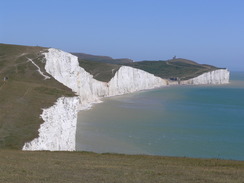
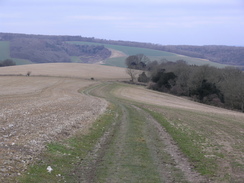
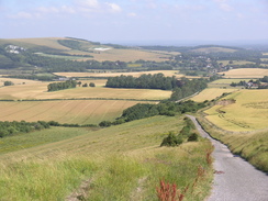
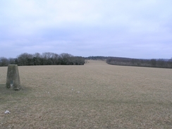
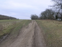
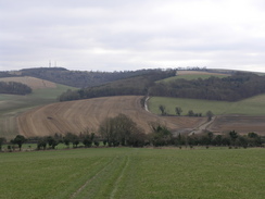
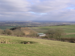
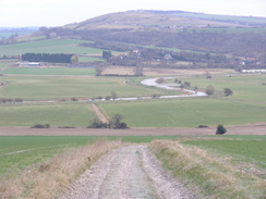
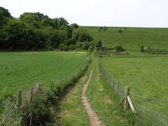
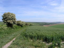
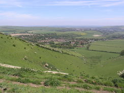
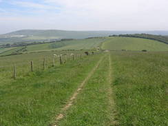
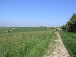
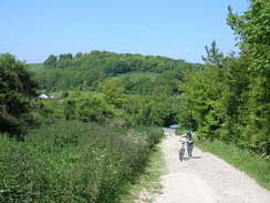
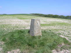
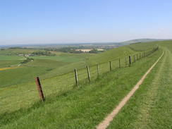
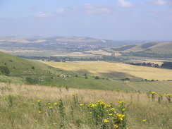
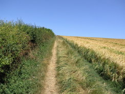
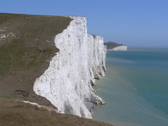
BackgroundThe South Downs Way is a 100-mile National Trail that follows the crest of the South Downs ridge from Wunchester to Eastbourne. Predominately running through chalk scenery, there are many superb views as the trail slowly approaches the sea at the spectacular Seven Sisters near Eastbourne. It is a bridleway for nearly it's entire length (the exception being at the eastern end, where the footpath and bridleway diverge), and for this reason there are not too many steep climbs to be had.
|
The map. |
The walk in full:
| No. | From | To | Distance | Status | |
|---|---|---|---|---|---|
 |
1 | City Mill (Winchester) | Wether Down | 19.3 | Completed |
 |
2 | Wether Down | A286 road (Cocking) | 17.3 | Completed |
 |
3 | A286 road (Cocking) | B2139 road in Amberley | 12.1 | Completed |
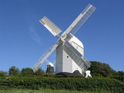 |
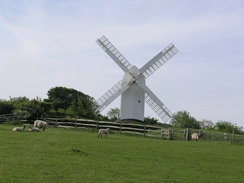
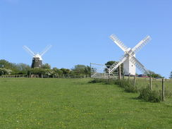
4 | B2139 road in Amberley | Jack and Jill Windmills | 21.3 | Completed |
 |
5 | Jack and Jill Windmills | Beddingham Hill | 16.3 | Completed |
 |
6 | Beddingham Hill | Holywell (Eastbourne) | 16.5 | Completed |
Further information
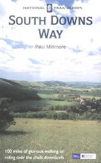
The walk is also covered in detail in the South Downs Way National Trail Guide, by Paul Millmore, ISBN 1 85410 966 9 published by Aurum Press Ltd.
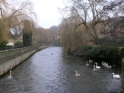
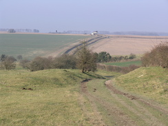
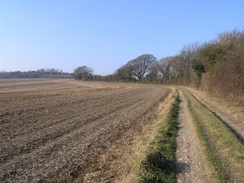
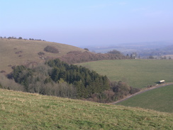
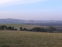
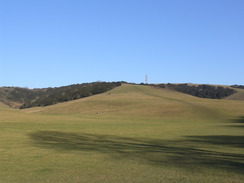
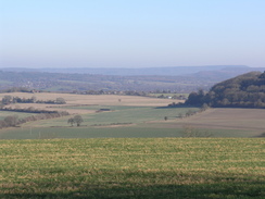
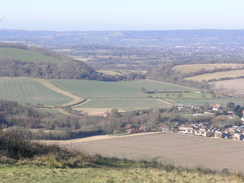
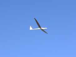
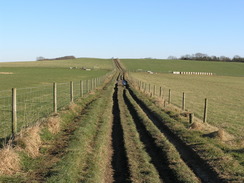
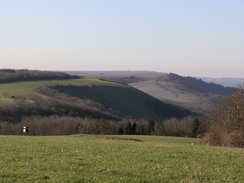
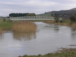
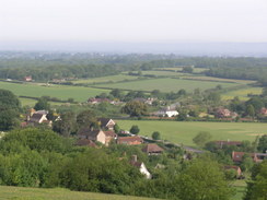
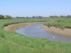
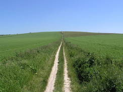
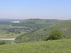
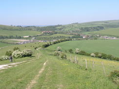
More South Downs Way photos
 |
 |
|
 |
 |
|
| |
 |
|
 |
 |
|
 |
 |
|
| |
 |
|
 |
 |
|
 |
 |
|
| |
 |
|
 |
 |
|
 |
 |
|
| |
 |
|
 |
 |
|
 |
 |
|
 |
 |
|
 |
 |
|
 |
 |
|
 |
 |
|
 |
 |
|
 |
|
|
 |
 |
|
 |
 |
|
 |
 |
|
 |
 |
|
