The North Downs Way
 |
|
 |
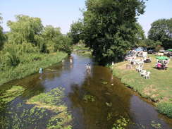
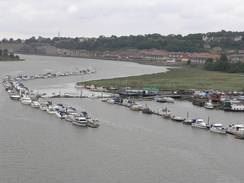
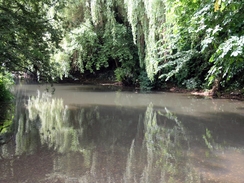
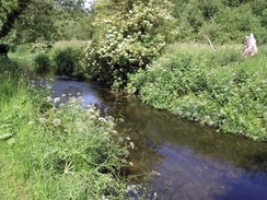
| P20057176926 The River Great Stour in Wye.
|
|
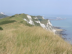
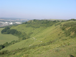
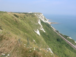
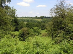
P20057166753 Looking back along the cliffs towards Dover.
|
Background
The North Downs Way runs from Farnham in the west of Surrey to Boughton Lees in the centre of Kent, where the path splits; a northern loop runs via Canterbury to Dover, whilst the southern loop runs to Dover via Folkestone. The southern route via Folkestone is 125 miles long, and the northern route via Canterbury is 131 miles long. When I walked the route in 2005 I walked the routew from west to east, walking to Boughton lees and then Canterbury, before heading down to Dover and back to Boughton Lees via Folkestone.
It is not a classic National Trail (the close proximity of a number of motoways, notably the M25, means that this will never be the case). It is, however, a worthwhile hike, and in places there are some spectacular views to be had from the top of the downs escarpment ove the plains to the south.
During the course of my attempt at the Way I walked 186 miles in nine days, which includes the walks to and from railway stations at the start and end of each day. The actual distance I walked along the Way was 168 miles measured by GPS; this is 12 miles more than the guide book states.
|
The map.
|
 |
|
 |
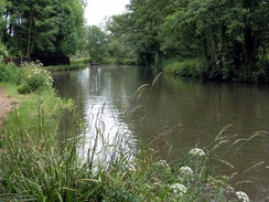
| P20056115808 The view from the bridge over the River Wey.
|
|
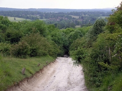
P20056125960 The view from the climb up to the top of Box Hill.
|
The walk statistics:
| | Planned | Completed | To do | Percentage completed |
|---|
| Distance | 168 miles | 168 miles | 0 miles | 100 % |
| Legs | 9 | 9 | 0 | 100 % |
| Total duration of walk | 2 days, 15 hours and 7 minutes
| | Stopped time | 3 hours and 12 minutes
| | Shortest completed leg | Beggars Lane in Gomshall to Merstham Station at 16.3 miles
| | Longest completed leg | Merstham Station to Otford station at 22.5 miles
| | Average distance per leg | 18.66 miles
|
The walk in full:
| No. | From | To | Distance | Status |
|---|
 |
1 |
Farnham Station |
Beggars Lane in Gomshall |
19.8 |
Completed |
 |
2 |
Beggars Lane in Gomshall |
Merstham Station |
16.3 |
Completed |
 |
3 |
Merstham Station |
Otford station |
22.5 |
Completed |
 |
4 |
Otford station |
Medway Bridges |
17.1 |
Completed |
 |
5 |
Medway Bridges |
Hollingbourne |
17.4 |
Completed |
 |
6 |
Hollingbourne |
Chilham |
21.2 |
Completed |
 |
7 |
Chilham |
Shepherdswell |
18.5 |
Completed |
|
8 |
Shepherdswell |
Creteway Down |
16.3 |
Completed |
 |
9 |
Creteway Down |
North Downs Way junction |
18.9 |
Completed |
Further information
If you want more details of the path, then have a look at the North Downs Way National Trail Guide, by Neil Curtis and Jim Walker, ISBN 1 85410 853 0, published by Aurum Press Ltd. I used this book throughout my walk, and it proved to be invaluable. It includes information on the entirty of the Canterbury - Dover loop at the eastern end of the Way. Please click on the image below to go to the Amazon page for this book.
There are also the following good websites about the Dales Way:
More North Downs Way photos
 |
|
 |
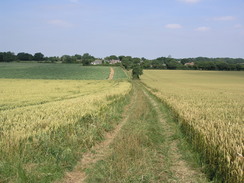
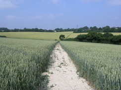
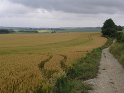
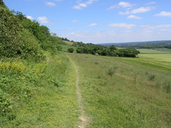
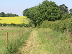
| P20057166657 The path heading southeastwards from Ashley.
|
|
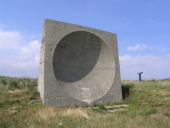
P20057166766 A sound mirror.
|
 |
|
 |
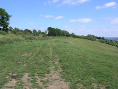
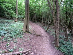
| P20056186047 Heading up to the top of Ockley Hill.
|
|
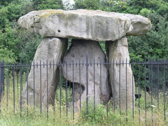
P20057026287 Kit's Coty House.
|
 |
|
 |
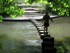
| P20056125951 The stepping stones over the River Mole.
|
|
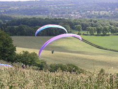
P20056186099 Paragliders in the sky.
|
 |
|
 |
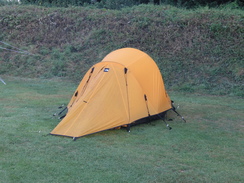
| P20057176824 My tent at the Little Satmar campsite.
|
|
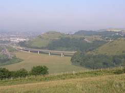
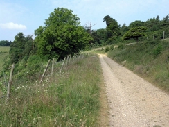
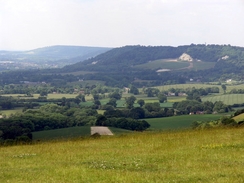
P20057176833 Looking west towards the A20 and Castle Hill.
|
 |
|
 |
| P20057176838 The entrance to the Channel Tunnel viewed from Castle Hill.
|
|
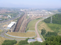
P20057176846 The path above the Channel tunnel rail terminal.
|
 |
|
 |
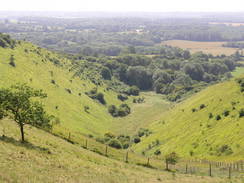
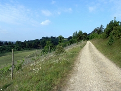
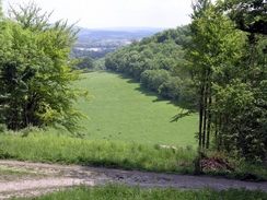
| P20057176854 The view down a little valley.
|
|
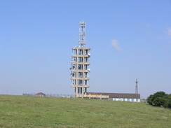
P20057176867 Tolsford Hill Radio Station.
|
 |
|
 |
| P20057176877 The hill above Postling.
|
|
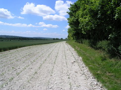
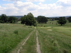
P20057176890 The path alongside the road on Farthing Common.
|
 |
|
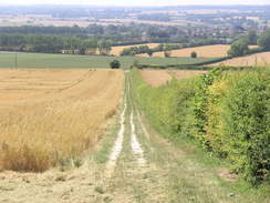 |
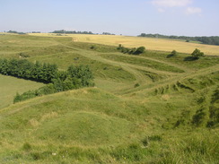
| P20057176910 The Devil's Kneading Trough.
|
|
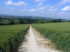
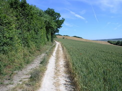
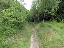
P20057176919 The path leading down towards Wye.
|
| |
|
 |
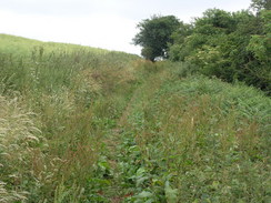
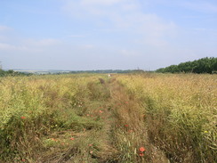
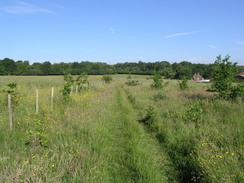
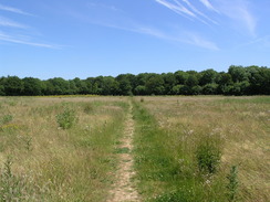
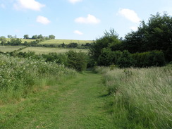
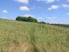
| P20057176934 Heading northwst towards Sunridge.
|
|
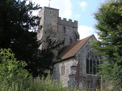
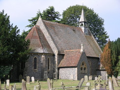
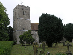
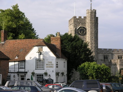
P20057166643 Shepherdswell church.
|
 |
|
 |
| P20057166645 The path heading east from Shepherdswell.
|
|
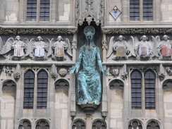
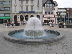
P20057166685 A fountain in Market Square in Dover.
|
 |
|
 |
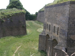
| P20057166698 The Drop Redoubt.
|
|
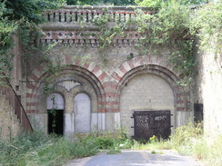
P20057166708 An entrance to the Western Heights complex.
|
 |
|
 |
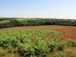
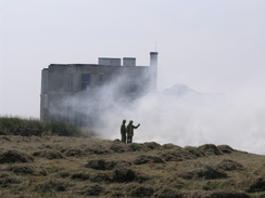
| P20057166777 A grass fire at the top of the cliffs.
|
|
P20057166792 The view back along the cliffs.
|
 |
|
 |
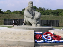
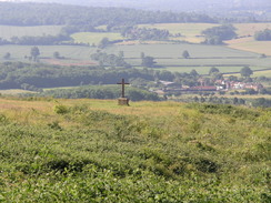
| P20057166801 The Battle of Britain memorial.
|
|
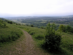
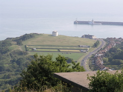
P20057166805 The view down over Folkestone.
|
 |
|
 |
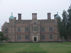
| P20057106482 Chilham Castle.
|
|
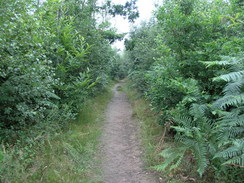
P20057106504 The path heading out of No Man's Orchard.
|
 |
|
 |
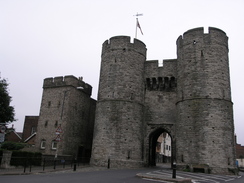
| P20057106518 Canterbury West Gate.
|
|
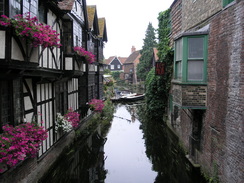
P20057106521 A tributary of the Great Stour by Canterbury West Gate.
|
 |
|
|
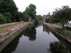
| P20057106526 The Great Stour in Canterbury.
|
|
P20057106528 Christ Church Gateway leading into the grounds of Canterbury Cathedral.
|
 |
|
 |
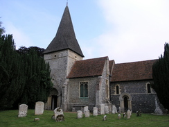
| P20057106556 Patrixbourne Church.
|
|
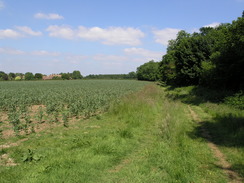
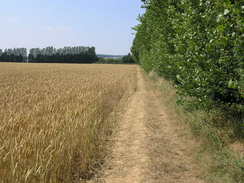
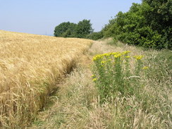
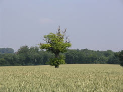
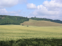
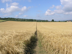
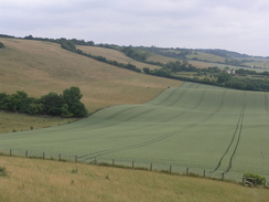
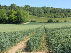
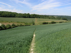
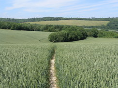
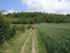
P20057106574 The tall crops on the way across Barham Downs.
|
 |
|
 |
| P20057106599 The view from the path on Three Barrow Downs.
|
|
P20057106613 Shepherdswell.
|
 |
|
 |
| P20057096370 Hollingbourne church.
|
|
P20057096384 The war memorial at Lenham.
|
 |
|
 |
| P20057096398 The climb up Hart Hill.
|
|
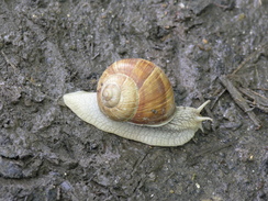
P20057096412 A snail on the path.
|
 |
|
|
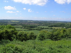
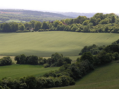
| P20057096416 Views to the northeast of Westwell.
|
|
P20057096434 Boughton Aluph church.
|
 |
|
 |
| P20057096436 The path heading away from Boughton Aluph.
|
|
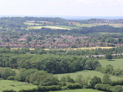
P20057096462 Chilham.
|
 |
|
 |
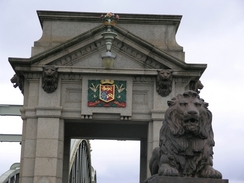
| P20057026231 Rochester Bridge.
|
|
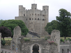
P20057026237 Rochester Castle.
|
 |
|
 |
| P20057026263 The view from the Medway bridge.
|
|
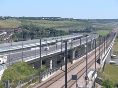
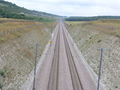
P20057026267 The CTRL near Nashenden Farm.
|
 |
|
 |
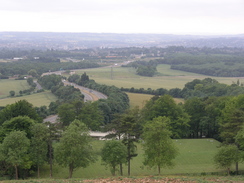
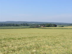
| P20057026313 The view down over the A429 and Detling.
|
|
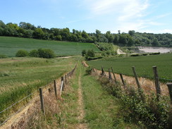
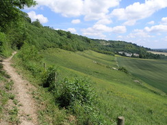
P20057026335 Heading east along the escarpment.
|
| |
|
 |
| P20057026349 The escarpment to the northwest of Hollingbourne.
|
|
P20056196166 Heading east to the north of Kemsing.
|
 |
|
 |
| P20056196171 Looking south over Kemsing.
|
|
P20056196180 Looking back up the climb up the escarpment near Chalk Pit Wood.
|
 |
|
 |
| P20056196183 The view from the path heading towards Wrotham.
|
|
P20056196202 The path near Pastead Wood.
|
 |
|
 |
| P20056196206 Looking north towards North Wood.
|
|
P20056196208 The quarry near North Wood.
|
 |
|
 |
| P20056196209 The path from North Wood to Upper Bush.
|
|
P20056196218 The path to the south of Ranscombe.
|
| |
|
 |
| P20056196224 The Medway bridges.
|
|
P20056186045 Heading up to the top of Ockley Hill.
|
 |
|
 |
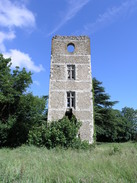
| P20056186056 Whitehill Tower.
|
|
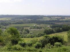
P20056186063 The view from near Pilgrim fort.
|
 |
|
 |
| P20056186070 Looking south towards the M25.
|
|
P20056186071 The view south over Godstone.
|
 |
|
 |
| P20056186078 Heading east along the base of the escarpment.
|
|
P20056186083 Heading east along the base of the escarpment.
|
 |
|
 |
| P20056186091 The path near Clarks Lane Farm.
|
|
P20056186114 The path below the escarpment to the east of the A233.
|
 |
|
 |
| P20056186117 The path up to the top of the escarpment.
|
|
P20056186120 The view along the escarpment.
|
| |
|
 |
| P20056186127 The path to the south of Knockholt Pound.
|
|
P20056186138 Heading northeastwards from the Donnington Manor Hotel.
|
 |
|
|
| P20056125921 The path on White Downs.
|
|
P20056125924 The path on the edge of Ranmore Common.
|
 |
|
 |
| P20056125938 The track through Denbies vineyard.
|
|
P20056125942 The track through Denbies vineyard.
|
 |
|
 |
| P20056125956 The River Mole.
|
|
P20056125985 The path on Brockham Hill.
|
 |
|
 |
| P20056125992 Heading north towards Drawcombe Wood.
|
|
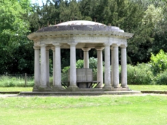
P20056126012 The Pavillion on Colley Hill.
|
 |
|
 |
| P20056126014 The view from Colley Hill.
|
|
P20056126023 Heading northeastwards towards Gatton.
|
 |
|
 |
| P20056126036 Heading east from Gatton to Merstham.
|
|
P20056115800 The first North Downs Way signpost in Farnham.
|
 |
|
|
| P20056115802 The River Wey.
|
|
P20056115819 Heading east from Totford Hatch.
|
 |
|
 |
| P20056115823 The view over towards the Hog's Back.
|
|
P20056115846 The River Wey.
|
 |
|
 |
| P20056115861 St Martha's Church.
|
|
P20056115893 Heading down Beggars Lane.
|
|
