Home  1999-2001  2002-3  2004-6  2007-9  2010-17  2018  2019  2020
 Coastwalk  LE-JOG  Counties  Random Search within km of
Hiking in Britain

Walks in Cumbria

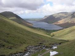
Cumbria is a large county in the northwest of England, immediately to the south of the Scottish border. It fully encompasses the Lake District, and the beauty of the county cannot be exaggerated.

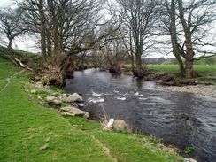
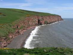
However, beauty exists in Cumbria outside the boundaries of the Lake District National Park; the coastline is spectacular, and the areas to the east of the M6 are scenically beautiful and much-less visited than the tourist honeypots of Kendal and Windermere.

As can be expected, many trails pass through Cumbria. The Pennine Way, Dales Way and Hadrian's Wall paths all enter the county (although of these, only the Dales Way enters the national park). The Coast-to-coast walk also starts within the county on its way to greet the North Sea. There are also more local trails, such as the Cumbria Way and the Allerdale Ramble.

And, of course, walking in Cumbria is synonymous with Alfred Wainwright, whose guidebooks with their elegant hand-drawn maps have guided generations of people onto the Cumbrian fells.


Below is a map showing all the walks that I have completed in Cumbria.

Completed walks in Cumbria

 
The River Kent on the way to Bowston.

St Bees Head.

Looking back over Wastwater.


List of walks in Cumbria

Walk No. Description Distance (miles)
930 Hadrian's Wall Path: Greenhead to Chollerford20.2
929 Hadrian's Wall Path: Carlisle to Greenhead22.2
928 Hadrian's Wall Path: Bowness-on-Solway to Carlisle15.5
661 Staveley to Windermere10.0
660 Sedbergh to Staveley21.1
659 Swarthgill to Sedbergh20.0
627 Horton in Ribblesdale to Kingsdale via Ingleborough and Whernside14.1
442 Gretna to Powfoot17.9
441 Cargo to Gretna17.6
440 Burgh by Sands to Cargo via Carlisle17.3
439 Angerton to Burgh by Sands17.3
438 Allonby to Angerton24.1
437 Parton to Allonby20.2
436 Gosforth to Parton20.3
435 Wasdale Head to Gosforth via Mickleden and Scafell Pike13.4
434 Ravenglass to Wasdale Head, via Seascale17.7
433 Haverigg to Ravenglass19.8
432 Askam in Furness to Haverigg19.6
431 Robin Whins Point to Askam in Furness17.9
430 Ulverston Sands to Robin Whins Point18.0
429 Grange-over-Sands to Ulverston Sands22.8
428 Silverdale to Grange-over-Sands22.2
43 Garigill to Slaggyford9.2
42 Dufton to Garrigill15.4
41 Langdon Beck to Dufton13.9

This was a total of 447.7 miles in 25 walks (an average of 17.9 miles per walk).


Back to counties index. Back to counties index 


Please visit my ramblings blog at: https://walkerramblings.blogspot.com/


Hosted by Spellings.net