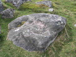
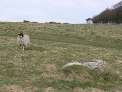
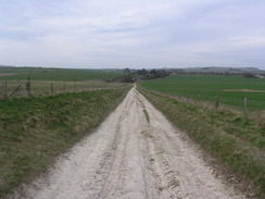
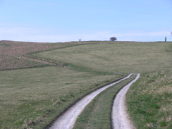
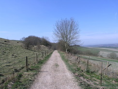
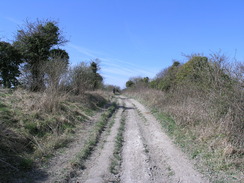
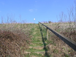
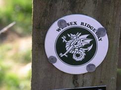
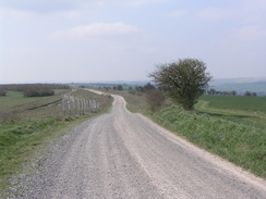
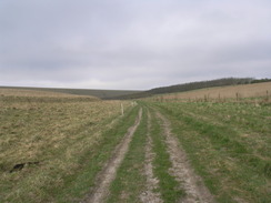
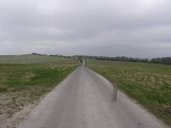
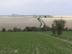
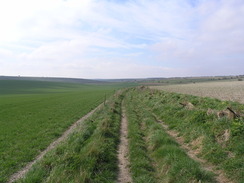
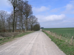
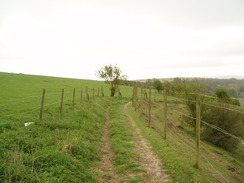
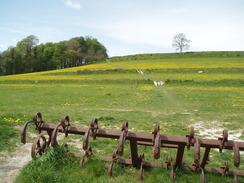
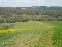
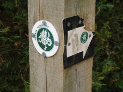
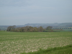
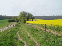
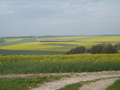
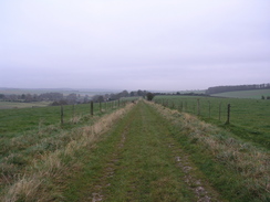
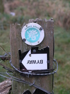
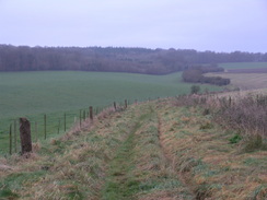
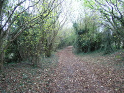
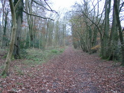
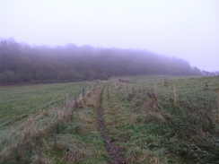
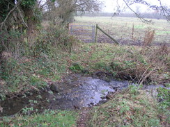
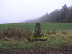
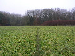
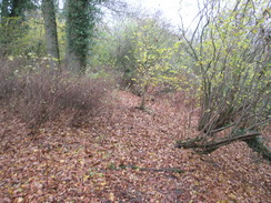
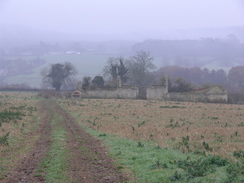
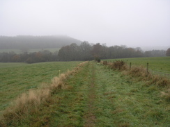
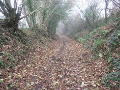
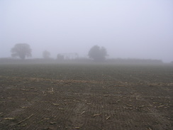
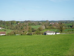
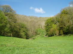
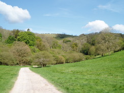
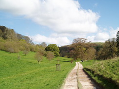
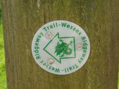
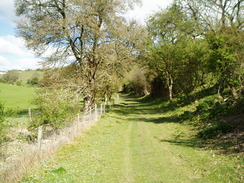
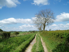
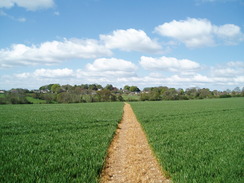
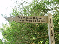
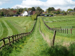
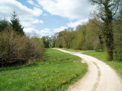
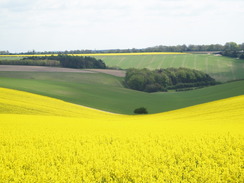
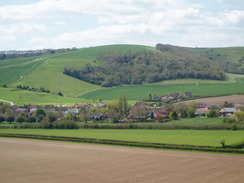
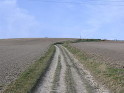
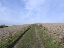
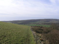
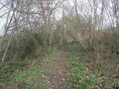
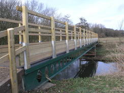
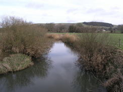
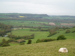
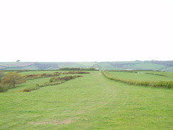
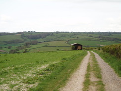
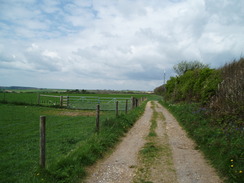
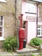
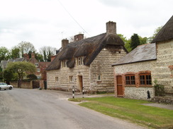
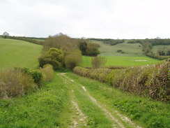
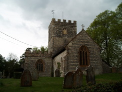
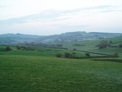
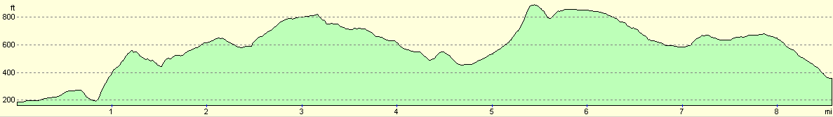
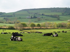
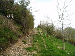
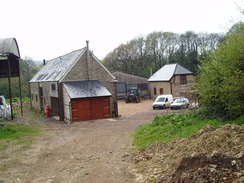
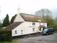
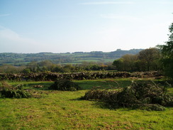
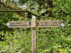
The Wessex RidgewayThe Wessex Ridgeway is a 138-mile trail running from Marlborough in Wiltshire to Lyme Regis on the Dorset coast. It is the southern end of the Greater Ridgeway walk, which along with the Rideway, the Icknield Way and the Peddar's Way forms a walk between the Dorset and Norfolk coasts. The Wesse Ridgeway is not a national trail, and is a fairly minor named trail, meaning that waymarkers are, in places, scanty and sometimes unhelpful. The Way passes through several different landscapes: from the ancient monuments around Avebury to the desolate beauty of Salisbury Plain; the rolling hills of Cranborne Chase to the steep-sided Dorset hills. One constant is prehistory; the trail passes through many ancient hillforts and signs of our ancestors are frequent. It is not an easy walk; there are frequent changes in height, the way sometimes winding to include hills off the direct route. Waymarking is generally easy to follow, in the form of circular discs, with 'TW' on a green arrow. These will be stuck onto any stationary furniture found on the route, such as gateposts, lampposts and marker posts. |
The map. |
The walk in full:
| No. | From | To | Distance (miles) | Ascent (feet) | Descent (feet) |
|---|---|---|---|---|---|
| 1 | Marlborough | Avebury | 6.2 | 518 | 433 |
| 2 | Avebury | Devizes | 11.5 | 1007 | 1106 |
| 3 | Devizes | West Lavington | 10.7 | 732 | 876 |
| 4 | West Lavington | Bratton Camp | 9.1 | 1063 | 610 |
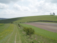
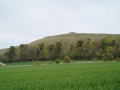
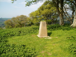
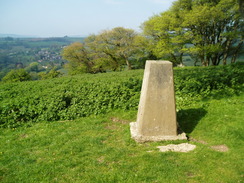
| 5 | Bratton Camp | Heytesbury | 11.1 | 1506 | 1886 |
| 6 | Heytesbury | Hindon | 8.4 | 679 | 610 |
| 7 | Hindon | Ludwell | 10.6 | 1421 | 1411 |
| 8 | Ludwell | Iwerne Courtney | 13.0 | 1558 | 1804 |
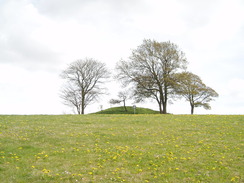
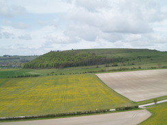
| 9 | Iwerne Courtney | Dorsetshire Gap | 11.5 | 1900 | 1385 |
| 10 | Dorsetshire Gap | Sydling St Nicholas | 11.3 | 1460 | 1798 |
| 11 | Sydling St Nicholas | Beaminster | 14.4 | 1808 | 1985 |
| 12 | Beaminster | Synderford | 8.6 | 1719 | 1545 |
| 13 | Synderford | Lyme Regis | 11.8 | 1775 | 2113 |
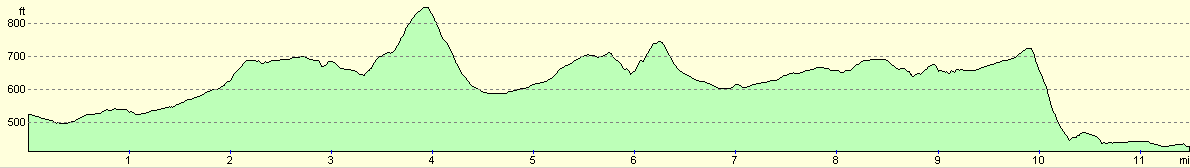
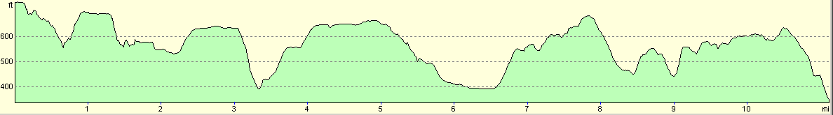
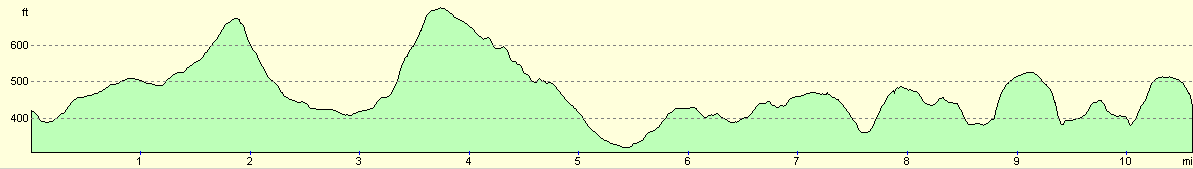
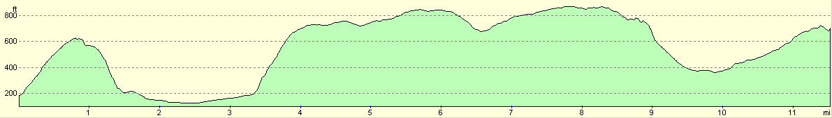
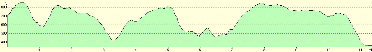
| Totals | 138.2 | 17146 | 17562 |
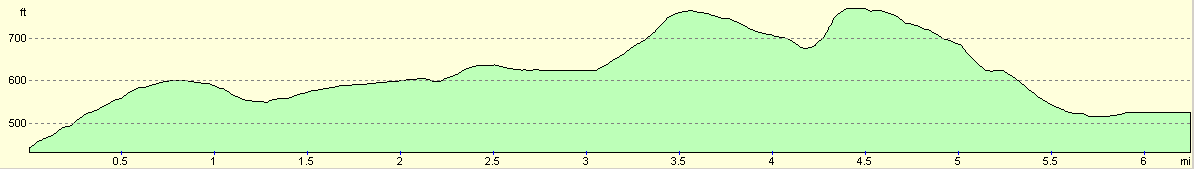
Leg 1 - Marlborough to Avebury
No. From To Distance Ascent Descent Profile
1
Avebury
Marlborough
6.2
518
433
| No. | From | To | Distance | Ascent | Descent | Profile | 1 | Avebury | Marlborough | 6.2 | 518 | 433 |
|---|
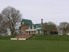
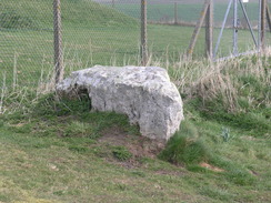
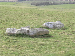
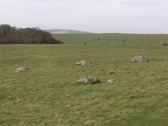
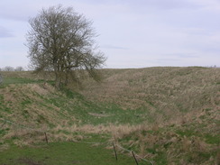
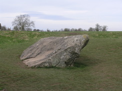
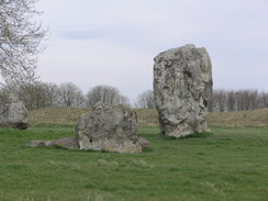
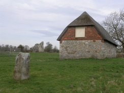
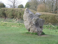
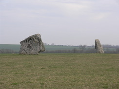
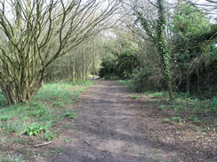
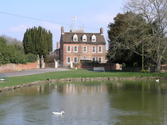
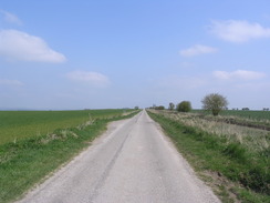
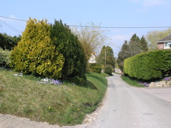
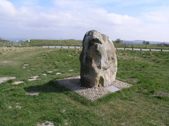
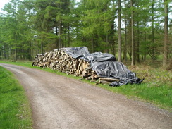
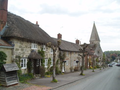
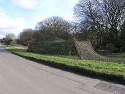
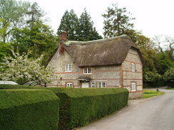
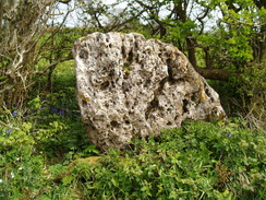
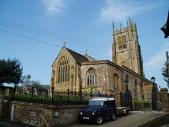
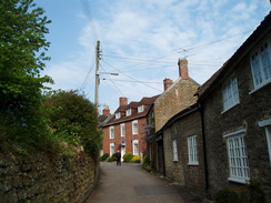
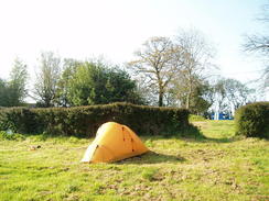
There is no marker stating the start point of the Wessex Ridgeway in Marlborough; no sign to welcome you off. Instead a simple walk takes you uphill, passing horse gallops before enteringan area dotted with ancient Grey Wether stones. Afte crossing the Ridgeway, the path descends down, crossing the ramparts of the Avebury circle to reach the centre of the beautoful village.
 |
 |
|
 |
 |
|
 |
 |
|
 |
 |
|
 |
 |
|
 |
 |
|
 |
 |
|
 |
 |
|
 |
 |
|
 |
 |
|
Leg 2 - Avebury to Devizes
No. From To Distance Ascent Descent Profile
2
Marlborough
Devizes
11.5
1007
1106
| No. | From | To | Distance | Ascent | Descent | Profile | 2 | Marlborough | Devizes | 11.5 | 1007 | 1106 |
|---|
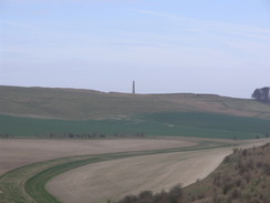
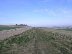
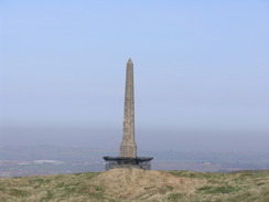
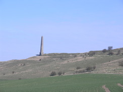
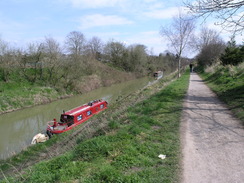
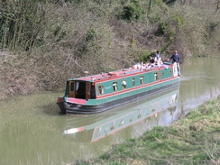
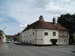
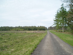
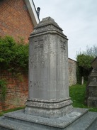
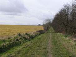
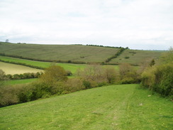
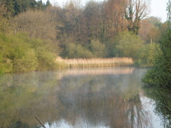
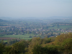
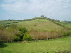
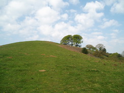
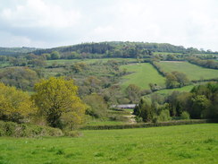
History dominates this leg. Leave some time to explore the centre of historic Avebury, and perhaps walk around the ramparts surrounding the stone circle. The A4 intrudes for a short distance, before the path climbs up to the first of many hillforts on the Wessex Ridgeway, at Cherhill Down. The summit is dominated by the monument to Sir William Petty, which will remain on the skyline for much of the day.
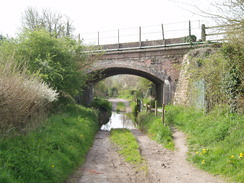
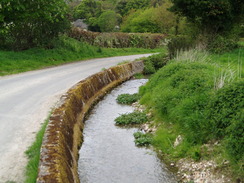
The path descends to join a Roman Road before crossing a golf course to reach the site of the Civil War Battle of Roundway. After this the path descends down to meet the Kennet and Avon canal at Devizes.
 |
 |
|
 |
 |
|
 |
 |
|
 |
 |
|
 |
 |
|
 |
 |
|
 |
 |
|
 |
 |
|
 |
 |
|
 |
 |
|
 |
 |
|
 |
Leg 3 - Devizes to West Lavington
No. From To Distance Ascent Descent Profile
3
Devizes
West Lavington
10.7
732
876

| No. | From | To | Distance | Ascent | Descent | Profile | 3 | Devizes | West Lavington | 10.7 | 732 | 876 |
|---|
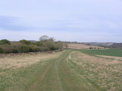
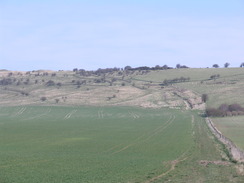
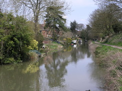
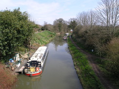
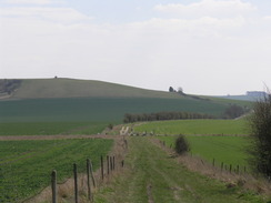
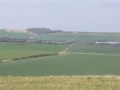
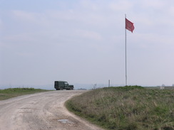
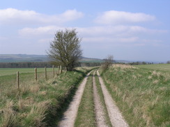
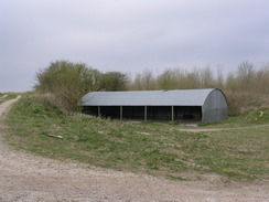
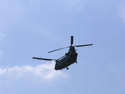
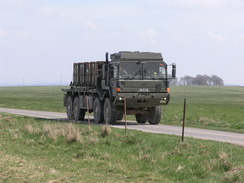
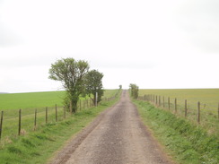
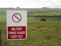
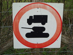
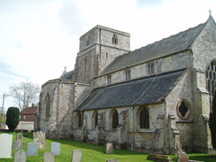
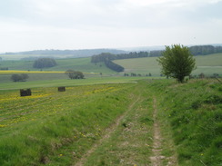
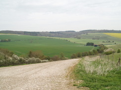
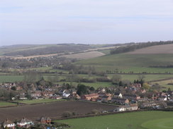
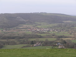
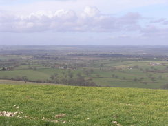
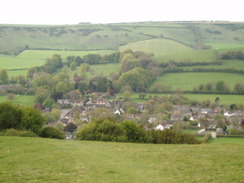
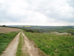
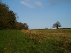
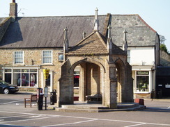
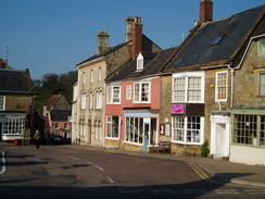
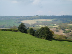
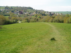
The path follows the Kennet and Avon canal for a short distance, eschewing the centre of Devizes. After this it climbs up to the summit of Etchilhampton Hill, from where two white horses can be seen on the hillsides to the north. Rolling hills take the path to the pretty village of Urchfont, after which it climbs up tor each the track that runs along the northern edge of Salisbury Plain. If you are lucky (or unlucky), then you will be able to hear, see and feel the blasts as the army play within the military ranges. After a few miles the Way descends down into the village of West Lavington.
 |
 |
|
 |
 |
|
 |
 |
|
 |
 |
|
 |
 |
|
 |
 |
|
 |
 |
|
 |
 |
|
 |
 |
|
 |
 |
|
 |
 |
|
 |
 |
|
 |
 |
|
 |
 |
|
 |
 |
|
Leg 4 - West Lavington to Bratton Camp
No. From To Distance Ascent Descent Profile
4
West Lavington
Bratton Camp
9.1
1063
610

| No. | From | To | Distance | Ascent | Descent | Profile | 4 | West Lavington | Bratton Camp | 9.1 | 1063 | 610 |
|---|
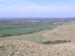
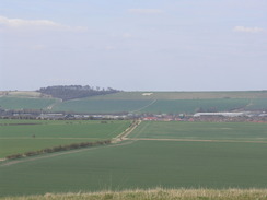
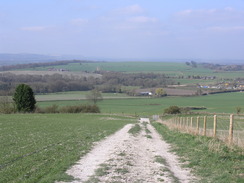
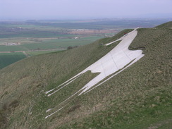
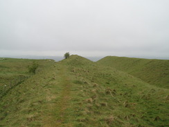
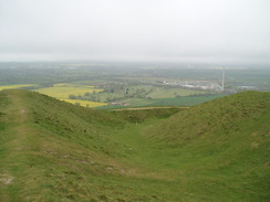
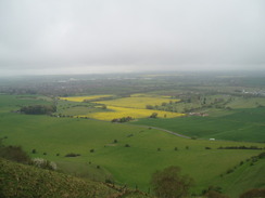
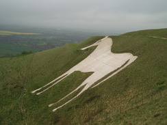
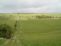
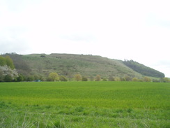
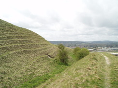
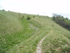
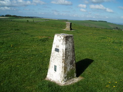
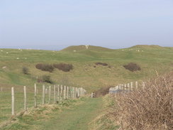
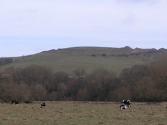
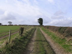
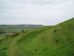
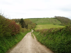
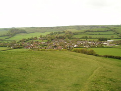
The Way leaves West Lavington, climbing up Strawberry Hill and descending before rejoining the track that runs along the northern edge of Salisbury Plain. A series of tracks and footpaths head westwards, staying on the heights as it avoids the military ranges. Superb views can be had in good weather over the plains to the north. This stretch ends on the grassy ramparts of the ancient hillfort of Bratton Camp, adjacent to the Westbury White Horse.
 |
 |
|
 |
 |
|
 |
 |
|
 |
 |
|
 |
 |
|
 |
 |
|
 |
 |
|
 |
 |
|
 |
 |
|
 |
 |
|
 |
 |
|
Leg 5 - Bratton Camp to Heytesbury
No. From To Distance Ascent Descent Profile
5
Bratton Camp
Heytesbury
11.1
1506
1886
| No. | From | To | Distance | Ascent | Descent | Profile | 5 | Bratton Camp | Heytesbury | 11.1 | 1506 | 1886 |
|---|
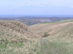
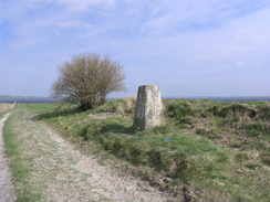
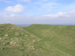
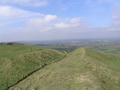
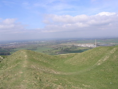
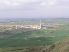
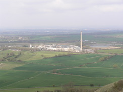
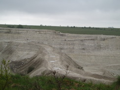
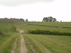
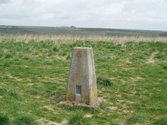
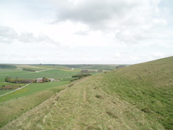
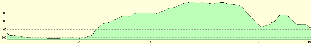
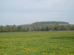
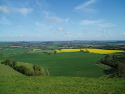
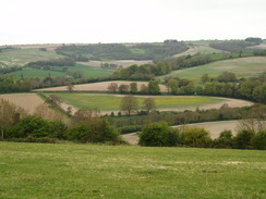
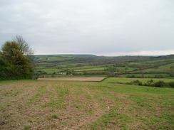
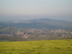
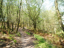
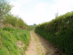
This is the first truly strenuous leg of the Way. The trail leaves the ancient hillfort of Bratton Camp and starts skirting the western edge of Salisbury Plain, rising and falling as it passes a chalk quarry to reach Upton Cow Down. More steep descents and ascents leads to the northern outskirts of Warminster and the army's Warminster Training Centre. After this three hillforts are passed in quick succession: Battlesbury Hill, Middle Hill and finally Scratchbury Hill. Height is maintained as Copley Hill is crossed, before steeply dropping down to the village of Heytesbury.
 |
 |
|
 |
 |
|
 |
 |
|
 |
 |
|
 |
 |
|
 |
 |
|
 |
 |
|
 |
 |
|
 |
 |
|
 |
 |
|
 |
 |
|
 |
 |
|
 |
 |
|
 |
 |
|
 |
 |
|
 |
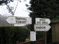
Leg 6 - Heytesbury to Hindon
No. From To Distance Ascent Descent Profile
6
Heytesbury
Hindon
8.4
679
610
| No. | From | To | Distance | Ascent | Descent | Profile | 6 | Heytesbury | Hindon | 8.4 | 679 | 610 |
|---|
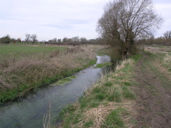
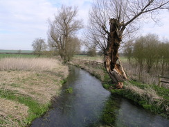
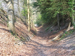
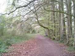
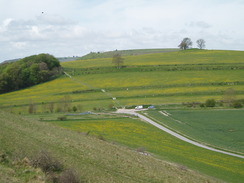
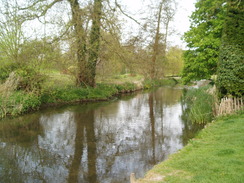
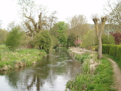
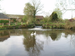
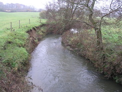
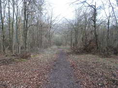
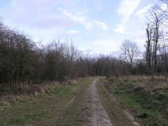
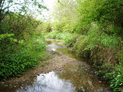
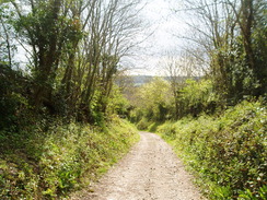
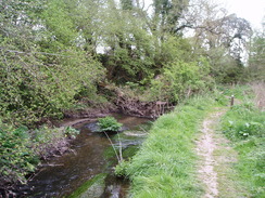
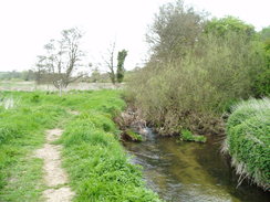
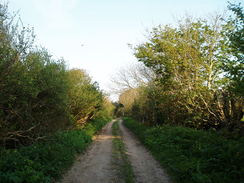
The trail leaves Heytesbury and follows the beautiful River Wylye for a short distance, before crossing the floodplain to reach the pretty village of Corton. After this the trail climbs up slowly, with good views to the north and west, It enters a large area of woodland on Rowdean Hill. It leaves the woodland to descend down to cross the A303, after which it climbs once more over Hawking Down before falling once more to reach Hindon.
 |
 |
|
 |
 |
|
 |
 |
|
 |
 |
|
 |
 |
|
 |
 |
|
 |
 |
|
 |
 |
|
 |
 |
|
 |
 |
|
 |
Leg 7 - Hindon to Ludwell
No. From To Distance Ascent Descent Profile
7
Hindon
Ludwell
10.6
1421
1411
| No. | From | To | Distance | Ascent | Descent | Profile | 7 | Hindon | Ludwell | 10.6 | 1421 | 1411 |
|---|
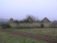
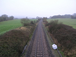
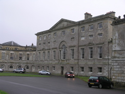
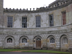
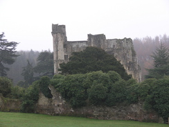
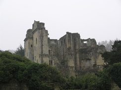
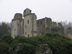
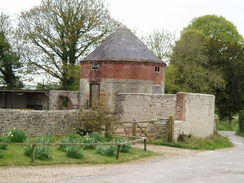
The trail leaves Hindon and climbs to skirt and area of woodland before descending once again. A series of small hills follow as the trail passes Newtown and crosses over the Salisbury to Exeter railway line. It then passes the magnificent Wardour Castle before reaching the equally spectacular ruins of Old Wardour Castle. Rolling hills lead on southwestwards across fields before the A30 is reached in Ludwell.
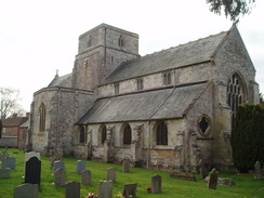
 |
 |
|
 |
 |
|
 |
 |
|
 |
 |
|
 |
 |
|
 |
 |
|
 |
 |
|
 |
 |
|
 |
 |
|
 |
 |
|
 |
 |
|
 |
 |
|
 |
 |
|
 |
 |
|
 |
 |
|
 |
 |
|
 |
 |
|
 |
 |
|
 |
 |
|
 |
 |
|
Leg 8 - Ludwell to Iwerne Courtney
No. From To Distance Ascent Descent Profile
8
Ludwell
Iwerne Courtney
13.0
1558
1804

| No. | From | To | Distance | Ascent | Descent | Profile | 8 | Ludwell | Iwerne Courtney | 13.0 | 1558 | 1804 |
|---|
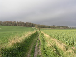
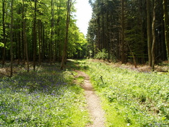
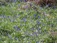
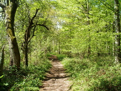
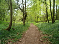
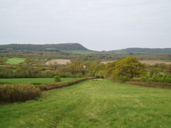
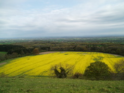
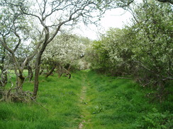
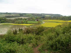
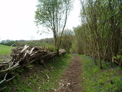
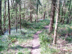
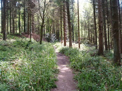
The trail leaves Ludwell and passes some watercress beds before climbing up to skirt the edge of Win Green Hill, from where good views can be had in virtually all directions. A steep descent leads down to Ashcombe Bottom, and a valley walk leads to the hamlet of Tollard Royal. A climb across Woodley Down is followed by a descent to Ashmore, crossing the border into Dorset and passing the halfway point of the trail. Ashnore Wood is passed through (bedecked with a carpet of bluebells in spring), after which rolling hills leads to a final descent down to the village of Iwerne Courtney (otherwise known as Shrotton).
 |
 |
|
 |
 |
|
 |
 |
|
 |
 |
|
 |
 |
|
 |
 |
|
 |
 |
|
 |
 |
|
 |
 |
|
 |
 |
|
 |
 |
|
 |
 |
|
 |
Leg 9 - Iwerne Courtney to Dorsetshire Gap
No. From To Distance Ascent Descent Profile
9
Iwerne Courtney
Dorsetshire Gap
11.5
1900
1385
| No. | From | To | Distance | Ascent | Descent | Profile | 9 | Iwerne Courtney | Dorsetshire Gap | 11.5 | 1900 | 1385 |
|---|
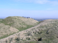
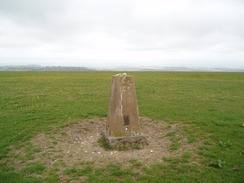
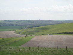
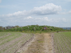
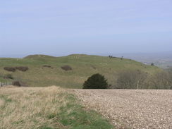
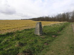
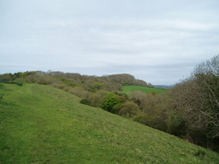
The trail leaves Iwerne Courtney and immediately climbs up towards the summit of Hambledon Hill, from where superb views can be had. The height gained is quickly lost as the trail descends to cross the River Stour and enter the village of Shillingstone. A steep climb leads up onto Shillingstone Hill, after which the height is kept as a road is followed southwestwards across Bell, Ibberton and Woolland Hills. Superb views can be had from the road to the northwest. The trail passes Bulbarrow Hill and leaves he road by the ancient hillfort of Rawlsbury Camp. A descent down to a road is followed by another stiff climb to a junction of paths at Dorsetshire Camp, where a metal box contains a logbook that can be filled in by walkers.
 |
 |
|
 |
 |
|
 |
 |
|
 |
 |
|
 |
 |
|
 |
 |
|
 |
 |
|
 |
 |
|
 |
 |
|
 |
 |
|
 |
 |
|
 |
 |
|
 |
 |
|
 |
 |
|
 |
 |
|
 |
 |
|
 |
Leg 10 - Dorsetshire Gap to Sydling St Nicholas
No. From To Distance Ascent Descent Profile
10
Dorsetshire Gap
Sydling St Nicholas
11.3
1460
1798
| No. | From | To | Distance | Ascent | Descent | Profile | 10 | Dorsetshire Gap | Sydling St Nicholas | 11.3 | 1460 | 1798 |
|---|
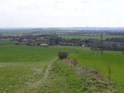
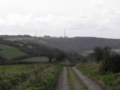
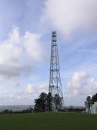
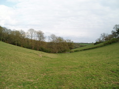
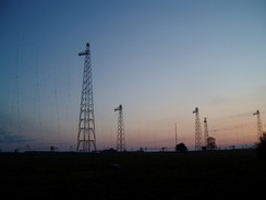
A series of ascents and descents leads westwards from Dorsetshire Gap, crossing Nettlecombe Tout, Church Hill before reaching a camping and caravan site at Giant's Head. The trail avoids the village of Cerne Abbas and instead descends down to Minterne Parva, before climbing once more onto Gore Hill. A few glimpses of the Cerne Abbas Giant may be visible before the path joins a track that runs southwards along a ridge, passing a transmission mast and eventually descending down into the village of Sydling St Nicholas.
 |
 |
|
 |
 |
|
 |
 |
|
 |
 |
|
 |
 |
|
 |
 |
|
 |
 |
|
 |
 |
|
 |
 |
|
 |
 |
|
Leg 11 - Sydling St Nicholas to Beaminster
No. From To Distance Ascent Descent Profile
11
Sydling St Nicholas
Beaminster
14.4
1808
1895
| No. | From | To | Distance | Ascent | Descent | Profile | 11 | Sydling St Nicholas | Beaminster | 14.4 | 1808 | 1895 |
|---|
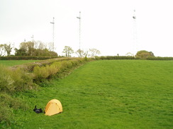
A short climb from Sydling St Nicholas leads to the A37 on Break Heart Hill, after which a descent leads to the village of Maiden Newton, which has a railway station. The valley of the River Frome is followed for a short distance to Chilfrome, after which a road climbs up westwards to reach the A356. A steep descent leads down to the hamlet of Lower Kingcombe, before a gentle climb passes the BBC World Service masts on Rampisham Down. A descent leads down into Hooke, after which paths and roads lead to Toller Whelme. Roads and paths head northwestwards for a few miles along the edge of a ridge, with good views to the south. At Mintern's Hill a glimpse of the sea may even be seen. Here the trail leaves a road and descends steeply downhill, joining a road in Meerhay to reach the town of Beaminster.
 |
 |
|
 |
 |
|
 |
 |
|
 |
 |
|
 |
 |
|
 |
 |
|
 |
 |
|
 |
 |
|
 |
 |
|
 |
 |
|
 |
 |
|
 |
 |
|
 |
 |
|
 |
 |
|
 |
Leg 12 - Beaminster to Synderford
No. From To Distance Ascent Descent Profile
12
Beaminster
Synderford
8.6
1719
1545
| No. | From | To | Distance | Ascent | Descent | Profile | 12 | Beaminster | Synderford | 8.6 | 1719 | 1545 |
|---|
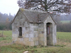
The trail passes through the centre of beautiful Beaminster before climbing steeply up onto Gerrard's Hill. Some severe climbs and falls leads to the path skirting the wooded side of Lewesdon Hill, before descending down and climbing up to pass the northwestern tip of Pilsdon Pen. Yet another descent is followed by an ascent up Blackdown Hill. A final descent leads to a road by a chapel, which is followed through to the hamlet of Synderford.
 |
 |
|
 |
 |
|
 |
 |
|
 |
 |
|
 |
 |
|
 |
 |
|
 |
 |
|
 |
 |
|
 |
 |
|
Leg 13 - Synderford to Lyme Regis
No. From To Distance Ascent Descent Profile
13
Synderford
Lyme Regis
11.8
1775
2113

| No. | From | To | Distance | Ascent | Descent | Profile | 13 | Synderford | Lyme Regis | 11.8 | 1775 | 2113 |
|---|
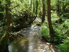
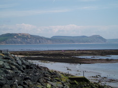
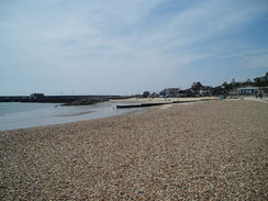
The path follows a narrow road from Synderford, crossing the small river before reaching Saddle Street. A steep climb leads up to a road and Grighay Farm. A steady descent leads down to the tiny Blackwater River, after which the path ascends, skirting the Devon border. A steep climb leads up to the summit of Lambert's Castle, from where more great views can be had. A steep descent leads down to a road, which can the be followed over and through the hillfort on Coney's Hill. A long descent leads to Wootton Fitzpaine, after whithe the trail skirts the valley side before climbing up to cross the A35 at Penn. The train descends through some woodland before eventually reaching the outskirts of Lyme Regis by a sweage farm. A pleasant stroll alongside the River Lim is followed by a road walk to the museum by the seafront in Lyme Regis.
 |
 |
|
 |
 |
|
 |
 |
|
 |
 |
|
 |
 |
|
 |
 |
|
 |
 |
|
 |
 |
|
 |
 |
|
 |
 |
|
 |
 |
|
 |
 |
|
 |
 |
|
 |
Circular walks
The following circular and linear walks are based on the Wessex Ridgeway:
- Walk 847 (A circular walk from Marlborough to Avebury)
- Walk 848 (Avebury to Devizes)
- Walk 849 (A circular walk from Urchfont to Etchilhampton and West Lavington)
- Walk 850 (A walk from West Lavington to Bratton Camp)
- Walk 851 (Westbury to Warminster)
- Walk 852 (A circular walk from Heytesbury to Hindon)
- Walk 800 (A circular walk from Hindon to Ludwell)
- Walk 853 (A circular walk from Ludwell to Iwerne Courtney)
- Walk 811 (A circular walk from Durweston to Woolland Hill and Milton Abbas)
- Walk 854 (Bulbarrow Hill to Rampisham Down)
- Walk 855 (Rampisham Down to Marshwood)
- Walk 856 (Marshwood to Lyme Regis)
Other resources
- The official Test Way website at Hampshire County Council
- The Southern Walks webpages covering the Test Way
