Home  1999-2001  2002-3  2004-6  2007-9  2010-17  2018  2019  2020
 Coastwalk  LE-JOG  Counties  Random Search within km of
Hiking in Britain

Walks in Suffolk

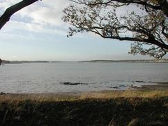
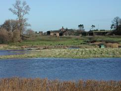
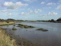
Suffolk is a large county in East Anglia, with an eastern coastline on the North Sea. Relatively low-lying, the county shares the Broads national park with the neighbouring county of Norfolk. The main towns are the beautiful Bury St Edmunds, the port town of Ipswich and the seaside resort of Lowestoft.

The county has some beautiful countryside, and there are many good walks to be had, although do not expect too many hills to climb. Paths include the Stour Valley Way from Newmarket to the sea at Manningtree, and the Suffolk Coast and Heaths Path that runs between Felixstowe and Lowestoft.


Below is a map showing all the walks that I have completed in Suffolk.

Completed walks in Suffolk

 
The river near Loompit Lake.

A view across lakes near Ramsholt Cliff.

Martlesham Creek.


List of walks in Suffolk

Walk No. Description Distance (miles)
1028 Gipping Valley River Path: Stowmarket to Ipswich20.9
958 Suffolk Coast Path: Boyton Dock to Felixstowe Station15.3
957 Suffolk Coast Path: Dunwich Forest to Boyton Dock25.0
956 Suffolk Coast Path: Lowestoft to Dunwich Forest22.8
952 Angles Way: Lowestoft to Great Yarmouth21.4
951 Sudbury to Colchester20.8
950 Stour Valley Path: Bures to Manningtree21.0
949 Stour Valley Path: Stoke-by-Clare to Sudbury18.4
948 Stour Valley Path: A linear walk between Stoke-by-Clare and Little Bradley and back20.2
946 Stour Valley Path: A walk from Newmarket to Little Bradley22.1
934 Angles Way: Bungay to Oulton Broad21.7
933 Angles Way: Diss to Bungay24.7
917 Angles Way: Thetford to Diss23.6
916 Hereward Way: Brandon to Harling Road and on to Wymondham31.5
915 Hereward Way: Ely to Brandon23.1
910 Waterbeach to Newmarket via the Devil's Dyke19.6
893 A circular walk from Dunwich to Southwold16.7
892 A circular walk between Thorpeness and Dunwich19.8
891 A circular walk from Aldeburgh to Tunstall via Snape21.7
890 A circular walk through Rendlesham Forest21.7
889 Ipswich to Melton20.8
782 Icknield Way: King's Wood to Thetford18.9
781 Icknield Way: Dullingham to King's Wood24.9
756 A circular walk from Thetford to Brandon20.6
753 A circular walk from Thetford20.6
719 Stowmarket to Diss19.5
718 A circular walk from Long Melford to Lavenham and Sudbury20.5
700 A circular walk from Haverhill to Clare18.4
699 Sudbury to Marks Tey17.1
694 A circular walk from Clare to Suffolk county top19.6
644 A walk between Clare and Long Melford19.6
589 Great Shelford to Haverhill16.9
572 Knettishall Heath to North Pickenham19.7
266 Shotley Gate to Mistley14.2
265 Nacton Church to Shotley Gate14.2
264 Waldringfield to Nacton via Felixstowe19.6
263 Bawdsey to Waldringfield17.9
262 Chillesford to Bawdsley10.8
261 Aldeburgh to Chillesford via Orford17.8
260 Southwold to Aldeburgh18.0
259 Gorleston-on-Sea to Southwold18.1
220 Linton to Newmarket17.3
218 Prickwillow to Newmarket15.5
212 Bury St Edmunds to Thetford17.8
207 Shippea Hill to Thetford20.2
167 Brampton to Lowestoft12.3
136 Lowestoft to Caister-on-Sea14.4
135 Darsham Station to Brampton Station12.3
132 Wickham Market Station to Darsham Station12.7
131 Ipswich to Wickham Market Station16.7
107 Stowmarket to Ipswich16.1
106 Bury St Edmunds to Stowmarket15.6
105 Newmarket to Bury St Edmunds21.7
27 Waterbeach to Newmarket16.5
8 Waterbeach to Newmarket17.5

This was a total of 1046.3 miles in 55 walks (an average of 19.02 miles per walk).


Back to counties index. Back to counties index 


Please visit my ramblings blog at: https://walkerramblings.blogspot.com/


Hosted by Spellings.net