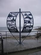
The South West Coast Path
 |
|
 |
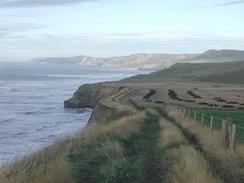
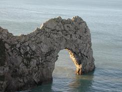
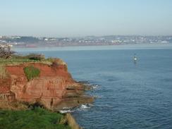
| P20031040010 Durdle Door.
|
|
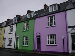
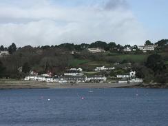
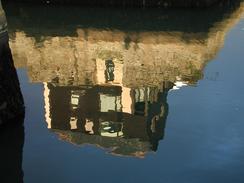
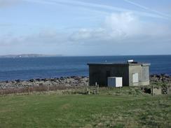
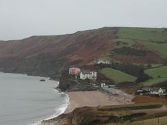
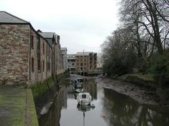
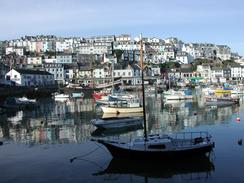
P20031310042 A building reflected in Falmouth Harbour.
|
Background
As part of my walk around the coastline of Britain, I walked around the South West Coast Path, which runs from Poole in Dorset to Minehead in Somerset.
I did the walk from January to March 2003, and as I did not take ferries I extended the walk significantly by walking to the nearest bridge or fording point; this is the only website I have been able to find that details these additions, and hence the route I detail below is much longer than the official 613 miles.
The walk statistics:
| | Planned | Completed | To do | Percentage completed |
|---|
| Distance | 814.8 miles | 814.8 miles | 0 miles | 100 % |
| Legs | 51 | 51 | 0 | 100 % |
| Total duration of walk | 15 days, 11 hours and 42 minutes
| | Stopped time | 1 days, 7 hours and 8 minutes
| | Shortest completed leg | Bossington to Minehead (end of SWCP) at 7.2 miles
| | Longest completed leg | Holywell (Cornwall) to Porthcothan at 21.4 miles
| | Average distance per leg | 15.97 miles
|
| | Walk number | From | To | Time |
|---|
| Earliest start | walk 50 | Lynton | Bossington | 07.45 |
| Latest start | walk 16 | Salcombe | Aveton Gifford | 09.57
| | Earliest finish | walk 51 | Bossington | Minehead (end of SWCP) | 12.05 |
| Latest finish | walk 28 | Ruan Lanihorne | Feock | 17.08 |
 |
|
 |
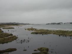
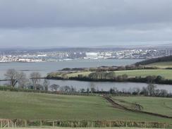
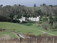
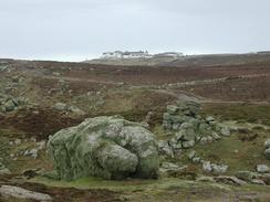
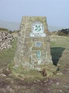
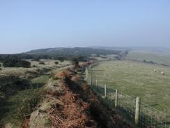
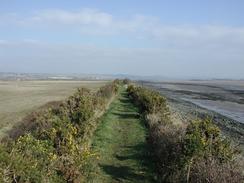
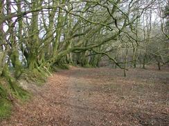
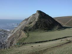
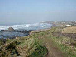
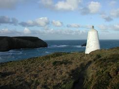
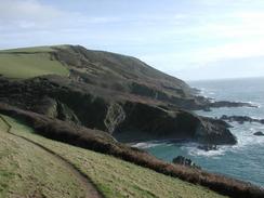
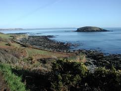
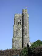
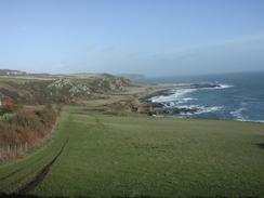
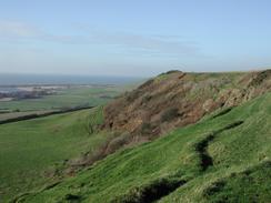
| P20032220092 North Hill.
|
|
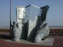
P20032220009 The scultpure at the end of the South West Coast Path in Minehead.
|
Resources
Books
The following National Trail Guides cover the route in detail:
|
|
|
| | | |
National Trail Guide: Minehead to Padstow
| |
National Trail Guide: Padstow to Falmouth
| |
National Trail Guide: Falmouth to Exmouth
| |
National Trail Guide: Exmouth to Poole
| | | |
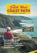
The South West Coast Path Association publish a yearly guidebook on the walk, which includes latest diversions and accommodation details. It is an invaluable guide to the walk, and well worth purchasing if you are walking th entire path or just a short stretch:
| |
|
|
| |
SWCP Association guide 2004
| |
|
Web Resources
The South West Coast Path is a massively popular path, and there are many websites that cover the whole path or sections of it. Here are my favourite of these sites:
- The South West Coast Path Association. This is probably the most comprehensive website on the walk, by the association that act as unofficial guardians of it. The site has details of all the SWCP publications, and also has a lovely photo tour containing images of the walk.
-
 |
|
 |
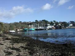
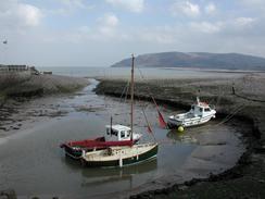
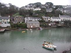
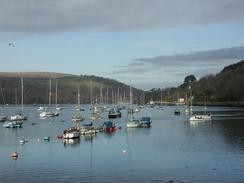
| P20032210054 Boats at Porlock Weir.
|
|
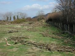
P20032210068 Driftwood on the path.
|
The walk in full:
More South West Coast Path photographs
 |
|
 |
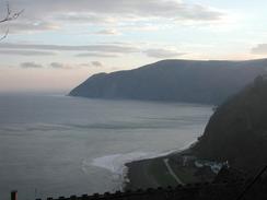
| P20032210016 The Rhenish tower at Lynmouth.
|
|
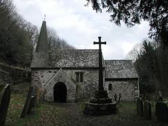
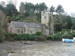
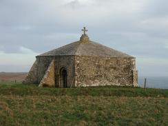
P20032210042 Culbone Church.
|
 |
|
 |
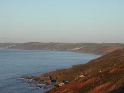
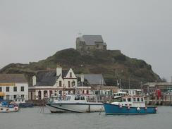
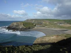
| P20032200042 Ilfracombe Harbour, with St Nichols Chapel on the hillside behind.
|
|
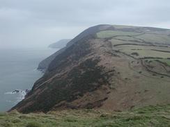
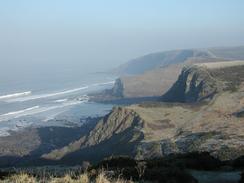
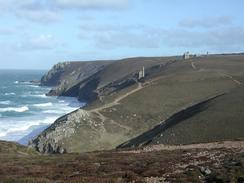
P20032200060 Looking eastwards towards the Great Hangman from the Little Hangman.
|
 |
|
 |
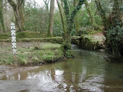
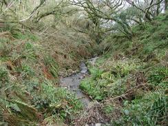
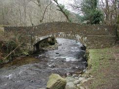
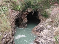
| P20032200078 The stream at the bottom of Heddon's Mouth.
|
|
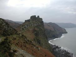
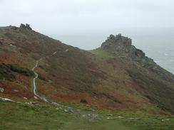
P20032200006 The Valley of Rocks.
|
 |
|
 |
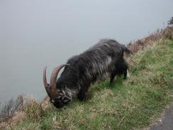
| P20032200009 A goat beside the path from the Valley of Rocks.
|
|
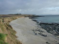
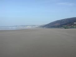
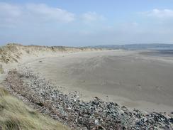
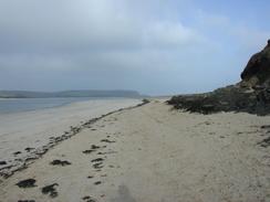
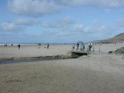
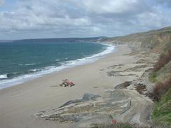
P20032190014 Woolacombe Sands.
|
 |
|
 |
| P20032190030 Rocks in a valley to the east of Bull Point.
|
|
P20032180017 The river in Barnstaple.
|
 |
|
 |
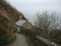
| P20032180030 The path leading towards the White House.
|
|
P20032180037 The beach at the mouth of the River Taw.
|
 |
|
 |
| P20032170039 Buck's Mills.
|
|
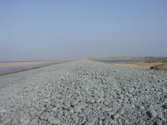
P20032170059 The shingle ridge beside Northam Burrows.
|
 |
|
 |
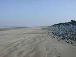
| P20032170061 A view along the beach near Northam Burrows.
|
|
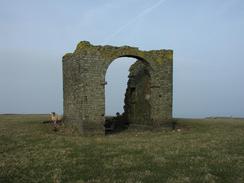
P20032160002 The ruins of a strange tower on Warren Cliff.
|
 |
|
 |
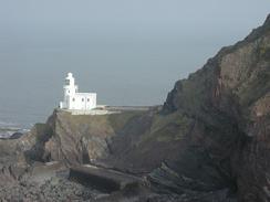
| P20032160008 Hartland Point lighthouse.
|
|
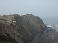
P20032160013 The view back over to Hartland Point.
|
 |
|
 |
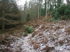
| P20032160034 The path through Barton Wood.
|
|
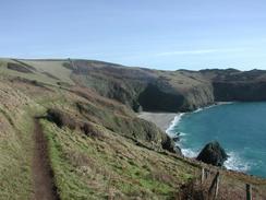
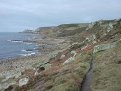
P20032150043 The cliffs approaching Warren Gutter.
|
 |
|
 |
| P20032150056 The cliffs leading to Higher Sharpnose Point.
|
|
P20032150058 Looking along Higher Sharpnose Point.
|
 |
|
 |
| P20032150070 Cornakey Cliff.
|
|
P20032150004 St Catherine's Tor.
|
 |
|
 |
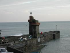
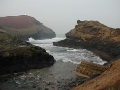
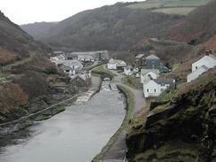
| P20032140070 The entrance to Boscastle Harbour.
|
|
P20032140008 The cliffs at Millook.
|
 |
|
 |
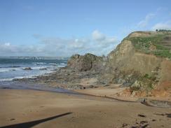
| P20032140010 Looking northwards towards Widemouth Sands
|
|
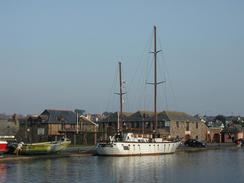
P20032140030 A boat on Bude Canal.
|
 |
|
 |
| P20032130030 A pinnacle of slate in Lanterdan Quarry.
|
|
P20032130031 Tintagel Church.
|
 |
|
 |
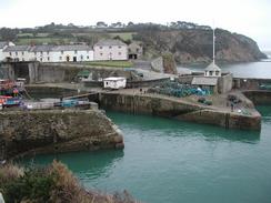
| P20032130064 Bocastle Harbour.
|
|
P20032120067 The beach near the ferry landing in Rock.
|
 |
|
 |
| P20032120072 Polzeath Beach.
|
|
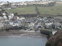
P20032120013 Port Isaac.
|
 |
|
 |
| P20032110008 The beach in Treyarnon.
|
|
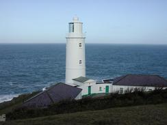
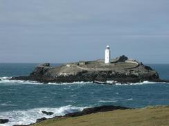
P20032110013 Trevose Head Lighthouse.
|
 |
|
 |
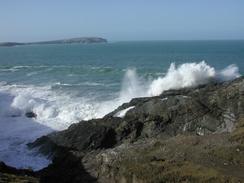
| P20032110027 Waves crashing against one of the Merope Islands.
|
|
P20032110034 The beach beside Harbour Cove.
|
 |
|
 |
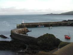
| P20032090004 The daymark above Portreath Harbour.
|
|
P20032090014 The view north over Chapel Porth.
|
 |
|
 |
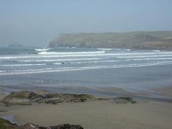
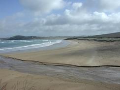
| P20032090037 Perranporth beach.
|
|
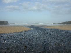
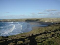
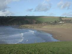
P20032090057 Looking northeastwards over Holywell Beach.
|
 |
|
 |
| P20032080075 Towans Beach.
|
|
P20032080083 Godrevy Island and lighthouse.
|
 |
|
 |
| P20032080001 The cliffs along Reskajeage Downs.
|
|
P20032070009 A large rock outcrop on Trevean Cliff.
|
 |
|
 |
| P20032070025 A stream running into Porthglaze Cove.
|
|
P20032070052 The beach in St Ives.
|
 |
|
 |
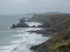
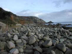
| P20032060043 The cliffs at Gwennap Head.
|
|
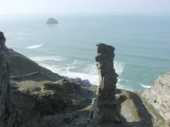
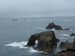
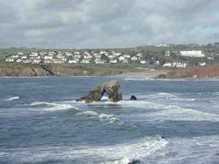
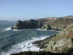
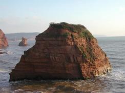
P20032060047 Enys Dodnan and the Armed Knight.
|
 |
|
 |
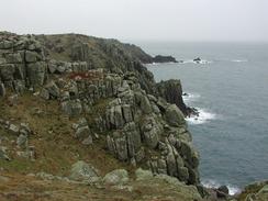
| P20032060059 Rocks on the cliffs to the north of Land's End.
|
|
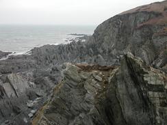
P20032060067 The footpath on Nanjulian Cliff.
|
 |
|
 |
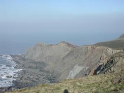
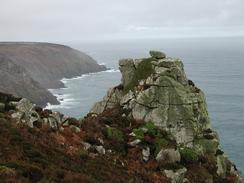
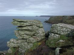
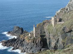
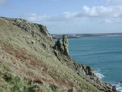
| P20032060083 The Crowns Part of Bottalack Mine perched perilously on the cliff-edge.
|
|
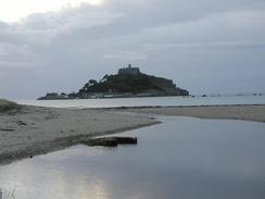
P20032050069 Looking back towards St Michael's Mount.
|
 |
|
 |
| P20032050025 The beach at St Loy's Cove.
|
|
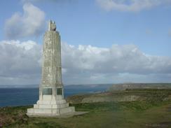
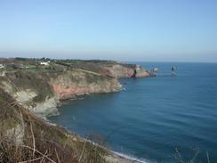
P20032040007 The monument dedicated to Marconi on Poludhu Point.
|
 |
|
 |
| P20032040015 Looking down over Church Cove.
|
|
P20032040019 Porthleven Sands.
|
 |
|
 |
| P20032040041 The cliffs near Trewavas Head.
|
|
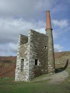
P20032040043 The remains of the Wheal Prosper engine house.
|
 |
|
 |
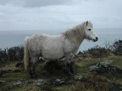
| P20032030022 A Shetland Pony on the cliffs.
|
|
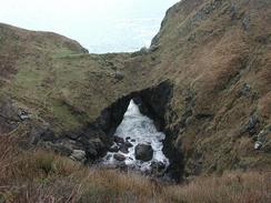
P20032030030 The Devil's Frying Pan.
|
 |
|
 |
| P20032030067 The view eastwards over Kynance Cove.
|
|
P20032020038 A view from Dennis Head.
|
 |
|
 |
| P20032020053 The MOD observation on Nare Point.
|
|
P20032020061 The Giant's Quoits.
|
 |
|
 |
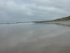
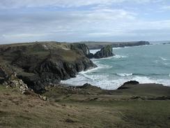
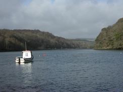
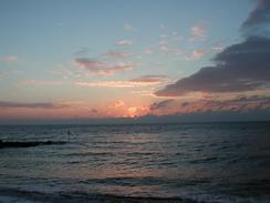
| P20031310039 The sun rising over Falmouth.
|
|
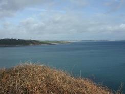
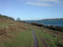
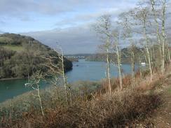
P20031300024 The footpath beside Carrick Roads.
|
 |
|
 |
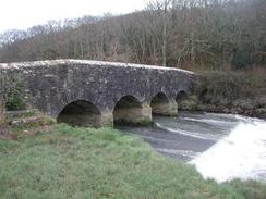
| P20031290073 The bridge over the Ruan River.
|
|
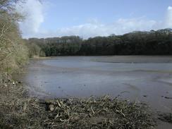
P20031290086 The Tresillian River.
|
 |
|
 |
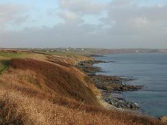
| P20031280005 Looking north along the coast back towards Portscatho.
|
|
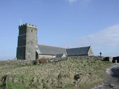
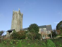
P20031280056 St Just in Roseland Church.
|
 |
|
 |
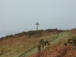
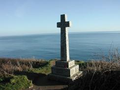
| P20031270050 The cross on Dodman Point.
|
|
P20031270062 East Portholland.
|
 |
|
 |
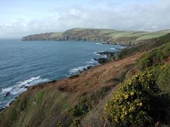
| P20031270075 The view from near Blouth Point.
|
|
P20031260089 Charlestown.
|
 |
|
 |
| P20031260024 The view south towards Penare Point.
|
|
P20031260029 Mevagissey Harbour.
|
 |
|
 |
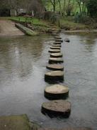
| P20031250085 The River Lerryn in Lerryn by the stepping stones.
|
|
P20031250001 The river near St Winnow Church.
|
 |
|
 |
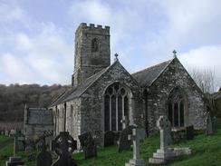
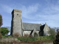
| P20031250003 St Winnow Church.
|
|
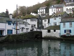
P20031240008 A view over Polperro Harbour.
|
 |
|
 |
| P20031240019 The view westwards towards Pencarrow Head.
|
|
P20031240021 The view eastwards from the path out of West Coombe.
|
 |
|
 |
| P20031240028 The view northeastwards from Pencarrow Head.
|
|
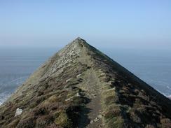
P20031240029 Pencarrow Head.
|
 |
|
 |
| P20031230087 The hill before Portwrinkle.
|
|
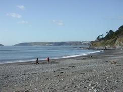
P20031230010 The beach in Seaton.
|
 |
|
 |
| P20031230038 Looking east towards Looe Island.
|
|
P20031230051 The war memorial above Talland.
|
 |
|
 |
| P20031220061 The path leading up towards Rame Head.
|
|
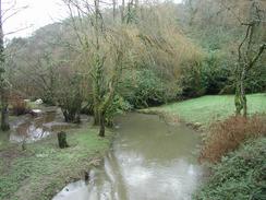
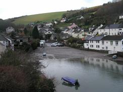
P20031210075 The river in Tideford.
|
 |
|
 |
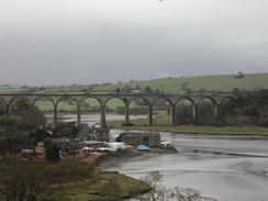
| P20031210004 A view of a railway viaduct to the east of St Germans.
|
|
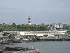
P20031200027 The view back eastwards towards Plymouth Hoe.
|
 |
|
 |
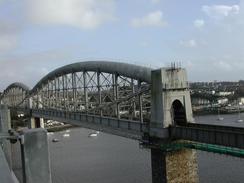
| P20031200053 The rail bridge at Saltash.
|
|
P20031190061 A view over Newton Creek.
|
 |
|
 |
| P20031190070 Briston Church spire.
|
|
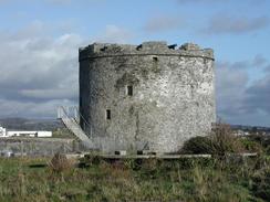
P20031190020 The Mount Batten Tower.
|
 |
|
 |
| P20031180075 The first creek on the tidal road.
|
|
P20031180086 The mouth of the river at Cockleridge.
|
 |
|
 |
| P20031180005 Looking down towards Westcombe Beach.
|
|
P20031180052 Looking over Newton Creek near Noss Mayo.
|
 |
|
 |
| P20031170028 Bolt Head.
|
|
P20031170050 Hope Cove.
|
 |
|
 |
| P20031170052 The rock sea arch near Thurlestone.
|
|
P20031170061 The view over Bantham Ham.
|
 |
|
 |
| P20031160023 South Pool Church.
|
|
P20031160038 West Charleton Church.
|
 |
|
 |
| P20031150030 The view towards Hallsands.
|
|
P20031150062 Looking eastwards from the climb up to Prawle Point.
|
 |
|
 |
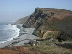
| P20031150067 The cliffs to the west of Prawle Point.
|
|
P20031150075 The view southeastwards along the cliffs.
|
 |
|
 |
| P20031140005 The river in Totnes.
|
|
P20031140019 The stepping stones across Bow Creek at Bow.
|
 |
|
 |
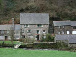
| P20031140037 The old water mill at Dittisham.
|
|
P20031140067 The boat float in Dartmouth.
|
 |
|
 |
| P20031140083 Two caves in the cliffs.
|
|
P20031130014 Kingswear Marina.
|
 |
|
 |
| P20031130022 The path heading northwards through Long Wood.
|
|
P20031120015 Black Rock viewed from Roundham Head.
|
 |
|
 |
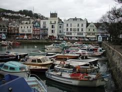
| P20031120042 A view over Brixham.
|
|
P20031120051 The cliffs to the west of Durl Head.
|
 |
|
 |
| P20031110031 The view towards The Ness.
|
|
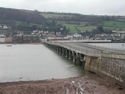
P20031110046 Shaldon bridge.
|
 |
|
 |
| P20031110069 The Ness viewed from Bundle Head.
|
|
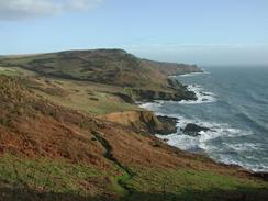
P20031110076 Looking north along the cliffs.
|
 |
|
 |
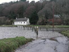
| P20031100071 Turf Lock.
|
|
P20031100088 Langstone Rock.
|
 |
|
 |
| P20031100090 The view northwards towards Langstone Rock.
|
|
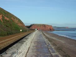
P20031090076 The sun rising over Sidmouth.
|
 |
|
 |
| P20031090086 A stack in Ladram Bay.
|
|
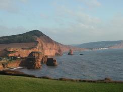
P20031090089 The view north over the stacks in Ladram Bay.
|
 |
|
 |
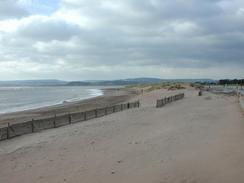
| P20031090026 The beach to the eastern side of Exmouth.
|
|
P20031080020 The path above the Undercliffs.
|
 |
|
 |
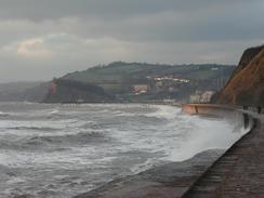
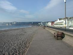
| P20031080027 The seafront promenade in Seaton.
|
|
P20031070008 Looking westwards over Eype Mouth.
|
 |
|
 |
| P20031070034 The path to the west of Golden Cap.
|
|
P20031070041 The woodland on Fern Hill.
|
 |
|
 |
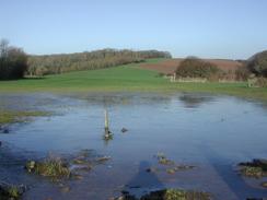
| P20031060051 A flooded and frozen field.
|
|
P20031060059 A view along Linton Hill.
|
 |
|
 |
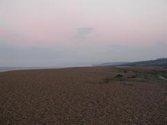
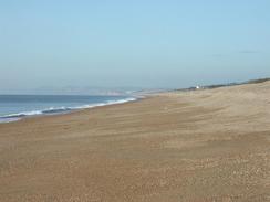
| P20031060070 Chesil Beach.
|
|
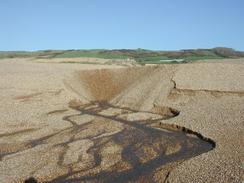
P20031060072 A stream emerging from Chesil Beach.
|
 |
|
 |
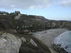
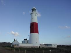
| P20031050007 Portland Bill lighthouse.
|
|
P20031050012 An old quarry.
|
 |
|
 |
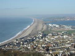
| P20031050033 A view down over Chesil Beach.
|
|
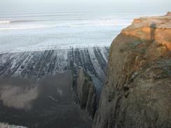
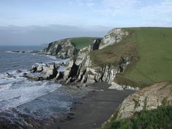
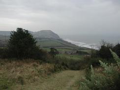
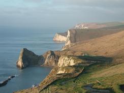
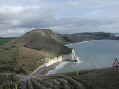
P20031040006 Looking down towards Durdle Door.
|
 |
|
 |
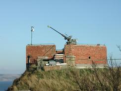
| P20031040058 An anti-aircraft gun on Nothe Fort.
|
|
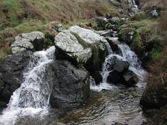
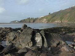
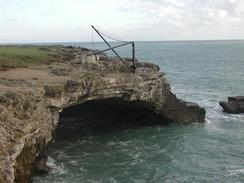
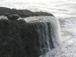
P20031030002 The waterfall at Freshwater Steps.
|
 |
|
 |
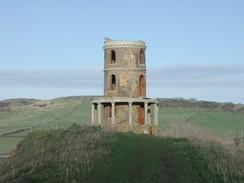
| P20031030010 Clavel Tower.
|
|
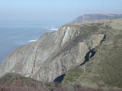
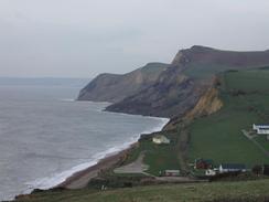
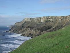
P20031030017 The cliffs leading up towards Tyneham Cap.
|
 |
|
 |
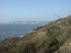
| P20031030033 The view east from Bindon Hill.
|
|
P20031020003 The sign marking the start of the South West Coast Path.
|
 |
|
 |
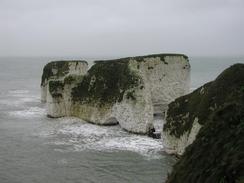
| P20031020029 Old Harry at Handfast Point.
|
|
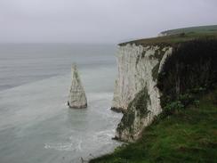
P20031020033 A view of the Pinnacles from Ballard Cliff.
|
 |
|
 |
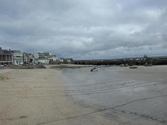
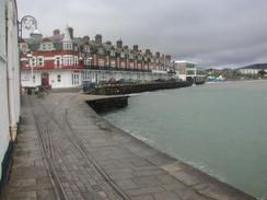
| P20031020043 A seafront scene in Swanage.
|
|
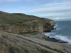
P20031020056 The cliffs near Dancing Ledge.
|
 |
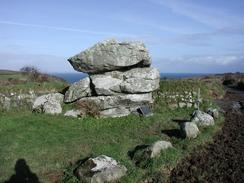
| P20031020072 St Aldhelm's Chapel.
|
|